2740
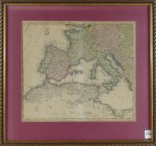
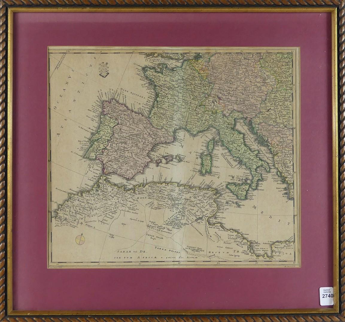
WESTERN EUROPE & NORTH AFRICA, CIRCA 1778


LOT DETAILS
A rare and important map of Western Europe and North Africa by Friedrich Wilhelm Karl Von Schmettau, written completely in Latin circa 1778; from an atlas and with original hand-colouring, fold and press are well defined, displays stunning coastal topography; presented in good condition, image size 34.3 x 30.5cm (13 1/2 x 12in), framed and matted, frame outside dimensions 45.7 x 49.5cm (18 x 19 1/2in)
