2739
18TH CENTURY EMANUEL BOWEN MAP OF THE BRITISH ISLES


LOT DETAILS
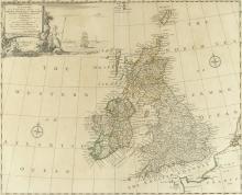
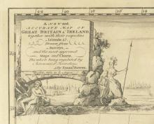
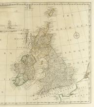
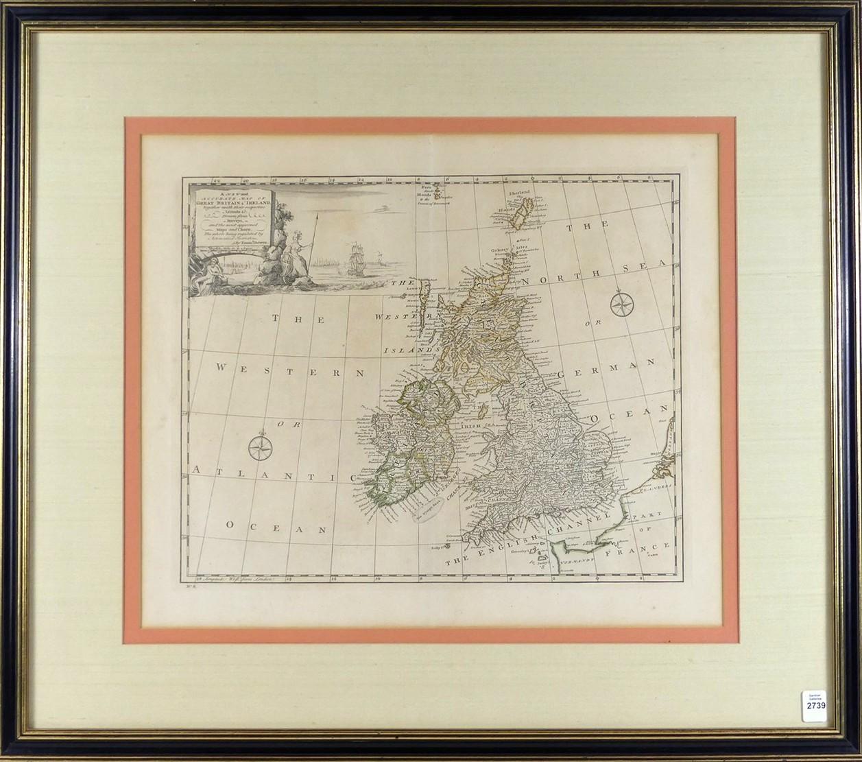
Bowen's map of the British Isles from "A Complete System of Geography", with an elaborate allegorical naval cartouche and two compass roses, published London, 1747; titled "A New and Accurate Map of Great Britain and Ireland, Together with their Respective Islands, Drawn from Surveys, and the Most Approved Maps and Charts, The Whole Being Regulated by Astronomical Observations"
Presented in excellent condition, image size 33 x 41.9cm (13 x 16 1/2in), housed inside an antique custom frame, frame outer dimensions 63.5 x 72.4cm (25 x 28 1/2in)
