2741
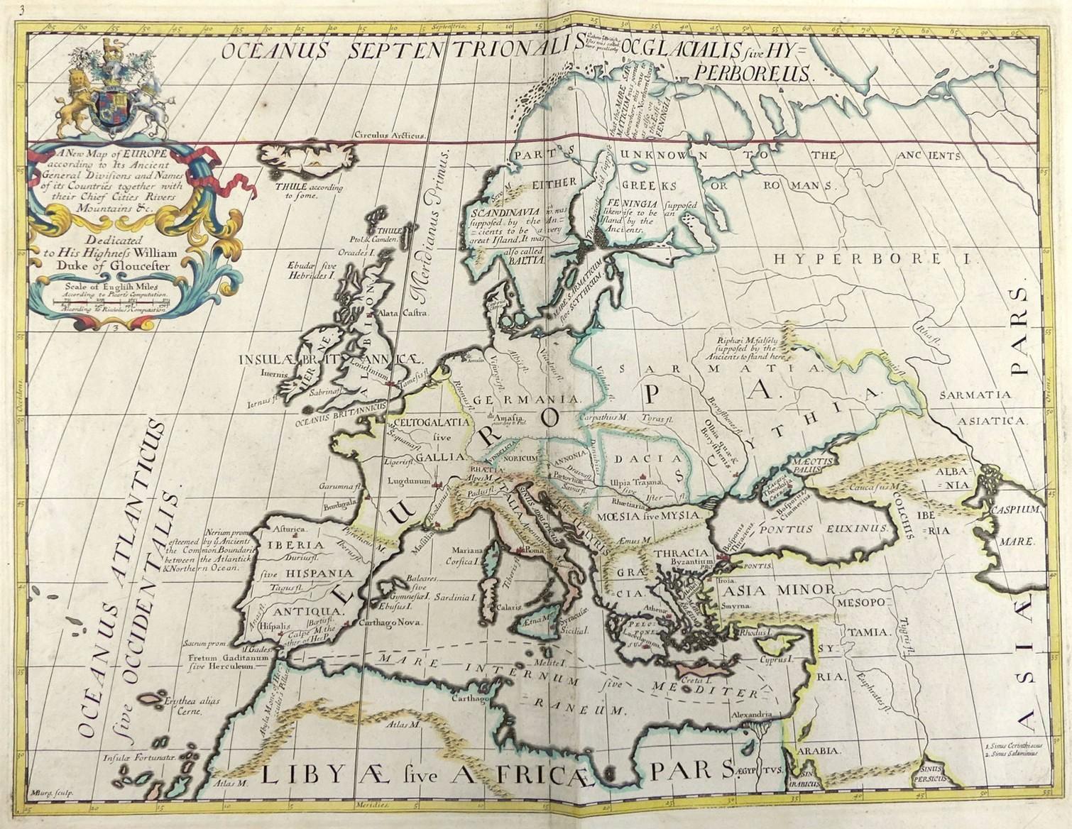
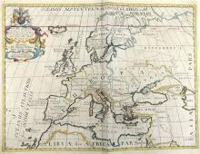
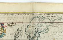
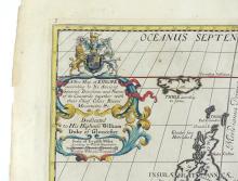
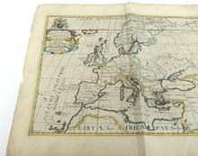
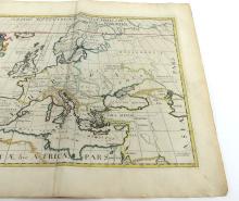
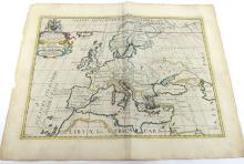
NEW MAP OF EUROPE BY EDWARD WELLS, CIRCA 1712
LOT DETAILS
With Royal Coat of Arms and dedication to William, Duke of Gloucester; part of an atlas produced while the Duke was at Oxford; the map displays capital cities, rivers and mountains, written in Latin; full original hand colouring and wide margins
Presented in good condition with centre folding, some wear and discolouring around border - image size 36.8 x 48.3cm (14 1/2 x 19in)