2729
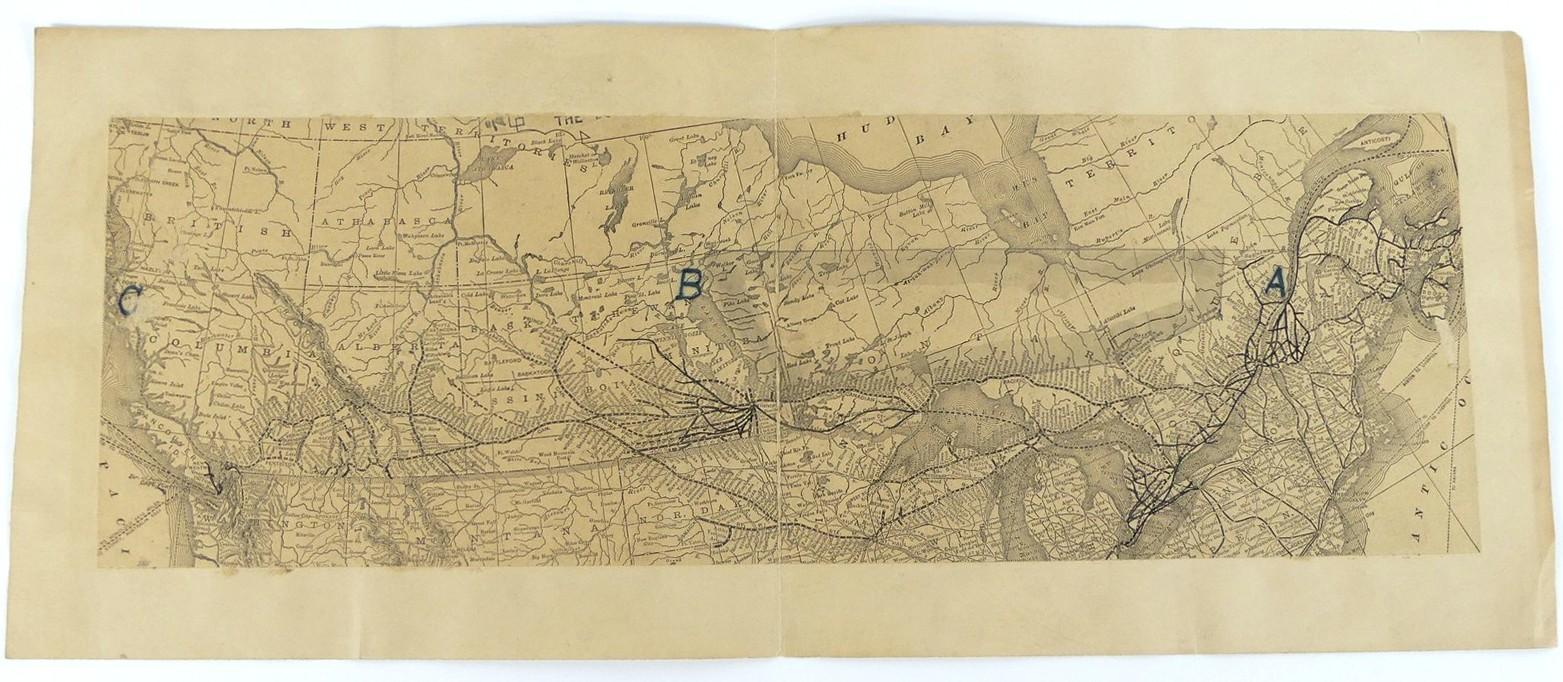
EARLY MAP OF CANADIAN INTEREST
LOT DETAILS
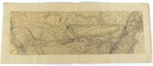
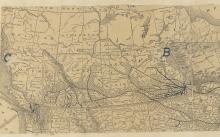
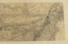
Antique folding map depicting rivers, lakes and rail transport, from British Columbia to the Gulf of the St. Lawrence, with points marked on the map with lettering "A, B and C" - some browning to paper and centre fold, image size 12.7 x 38.7cm (5 x 15 1/4in)