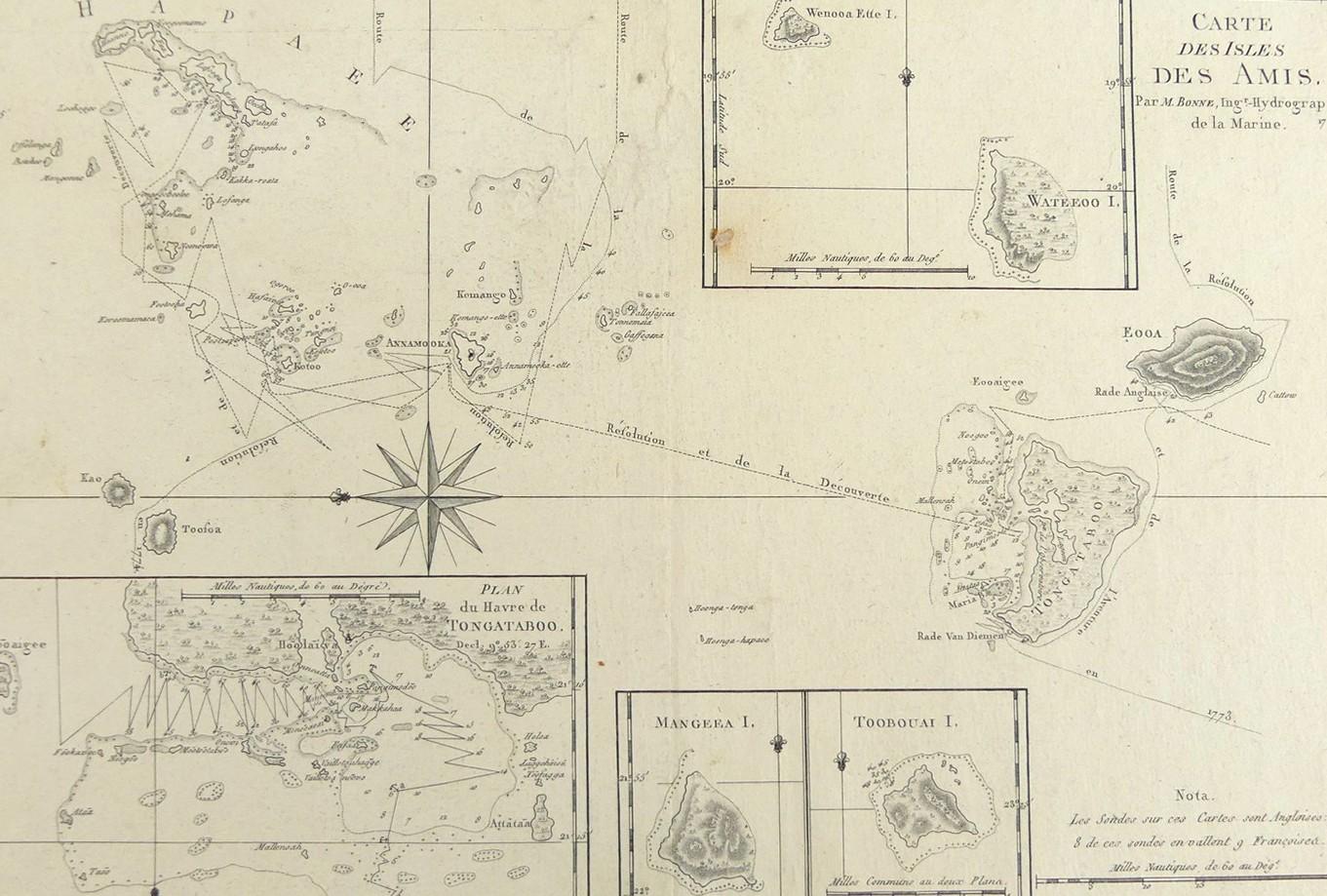
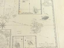
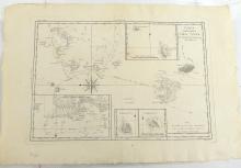
CARTE DES ISLES DES AMIS, 1788
LOT DETAILS
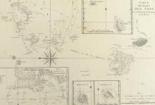
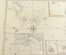
A rare original detailed copper-plate engraving by Jean Andre (Plate 129) from the work of M. Bonne, Ingenieur Hydrographe de la Marine, based on the accounts of Cook’s Third Voyage of Discovery in HMS Resolution and HMS Discovery, and published in Paris in the French 1788 edition of Rigobert Bonne’s "Atlas Encyclopedique" including 4 inset maps, the largest and most detailed being Plan du Havre de Tongataboo showing anchorages points, Mangeea I., Toobouai I., and Wanoa Ette I., and Wateeoo I. together; this chart is particularly interesting in that it shows both the ship tracks of Resolution and Discovery from Cook’s Third Voyage in 1777 as well as those of Resolution and Adventure from Cook’s Second Voyage in 1773 and 1774
Presented in very good condition, (small brown paper stain within bottom left corner of upper inset) as a folding map, protected in clear film sleeve - image size 22.9 x 34.3cm (9 x 13 1/2in)
