2724
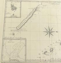
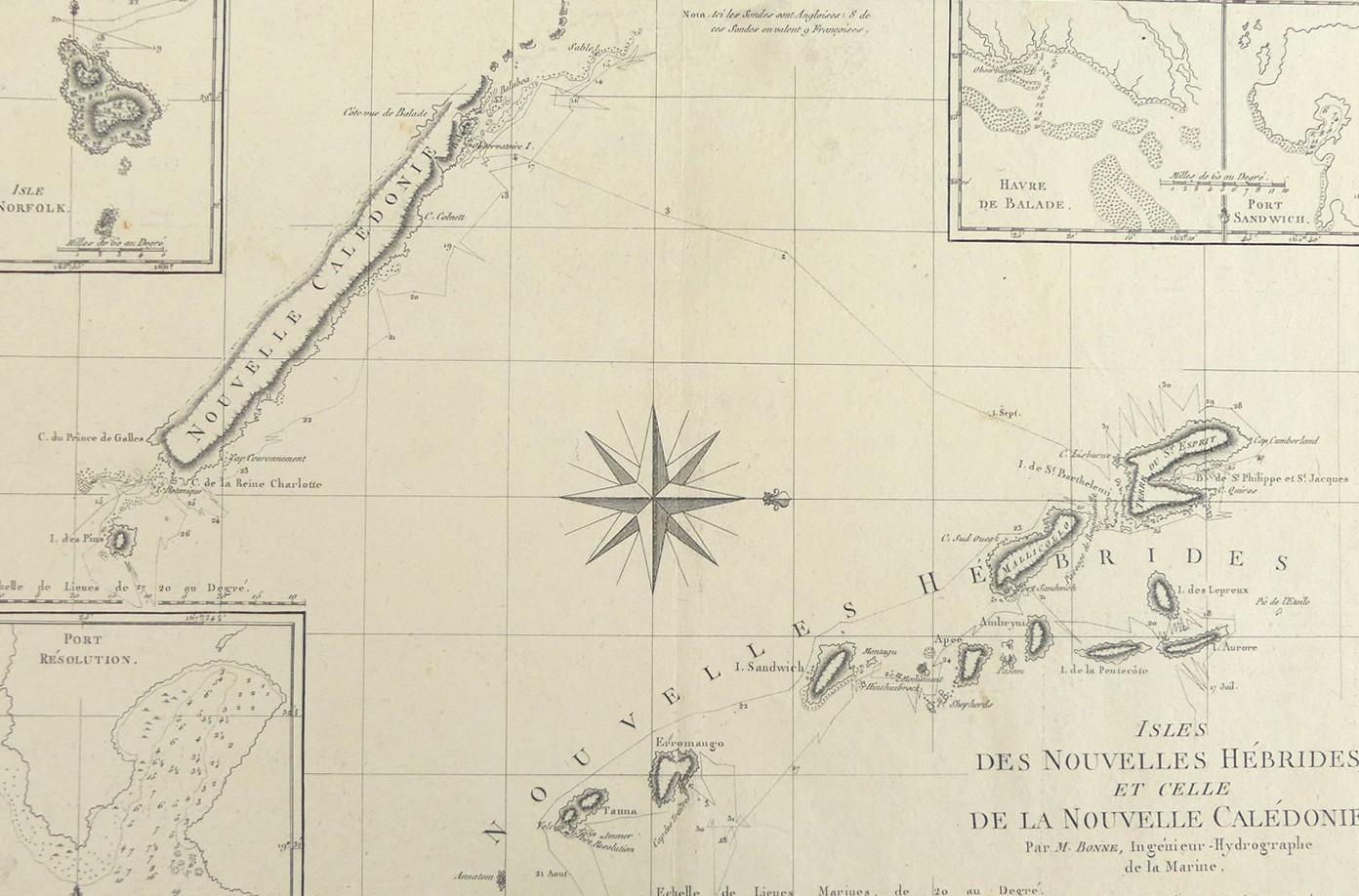
ISLES DES NOUVELLES HEBRIDES ET CELLE DE LA NOUVELLE CALEDONIE, 1788


LOT DETAILS
A rare original decorative and detailed copper-plate engraving (Plate 134) by Jean Andre from M. Bonne, Ingenieur Hydrographe de la Marine, based on the account of Cook’s Second Voyage of Discovery, and published in Paris in the 1788 edition of Rigobert Bonne’s "Atlas Encyclopedique"; the full image contains 4 inset maps, Isle Norfolk, Port Resolution, Havre de Balade, and Port Sandwich; Cook reached the island group he called the New Hebrides (now Vanuatu) on 17 July 1774 and departed on July 31 arriving at New Caledonia on 5 September which Cook claimed for the Crown
Presented in very good condition, as a folding map, protected in clear film sleeve - image size 22.9 x 34.3cm (9 x 13 1/2in)
