2725
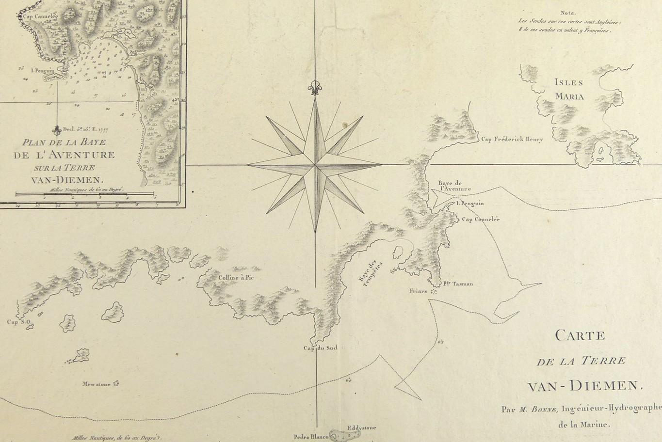
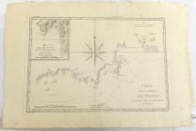
CARTE DE LA TERRE VAN-DIEMEN 1788
LOT DETAILS
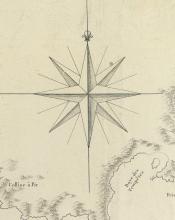
A rare original detailed copper-plate engraving with large compass rose by Jean Andre (Plate 133) from the work of M. Bonne, Ingenieur Hydrographe de la Marine, based on the accounts of Cook’s Third Voyage of Discovery in HMS Resolution, and published in Paris in the French 1788 edition of Rigobert Bonne’s "Atlas Encyclopedique" including an inset map, Plan de La Baye De L’Aventure sur La Terre Van-Diemen, showing the anchorage location
Presented in very good condition, as a folding map, protected in clear film sleeve - image size 22.9 x 34.3cm (9 x 13 1/2in)
