2722
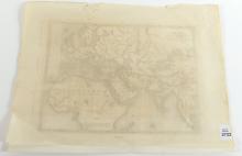
G. VIRTUE MAP CIRCA 1850

LOT DETAILS
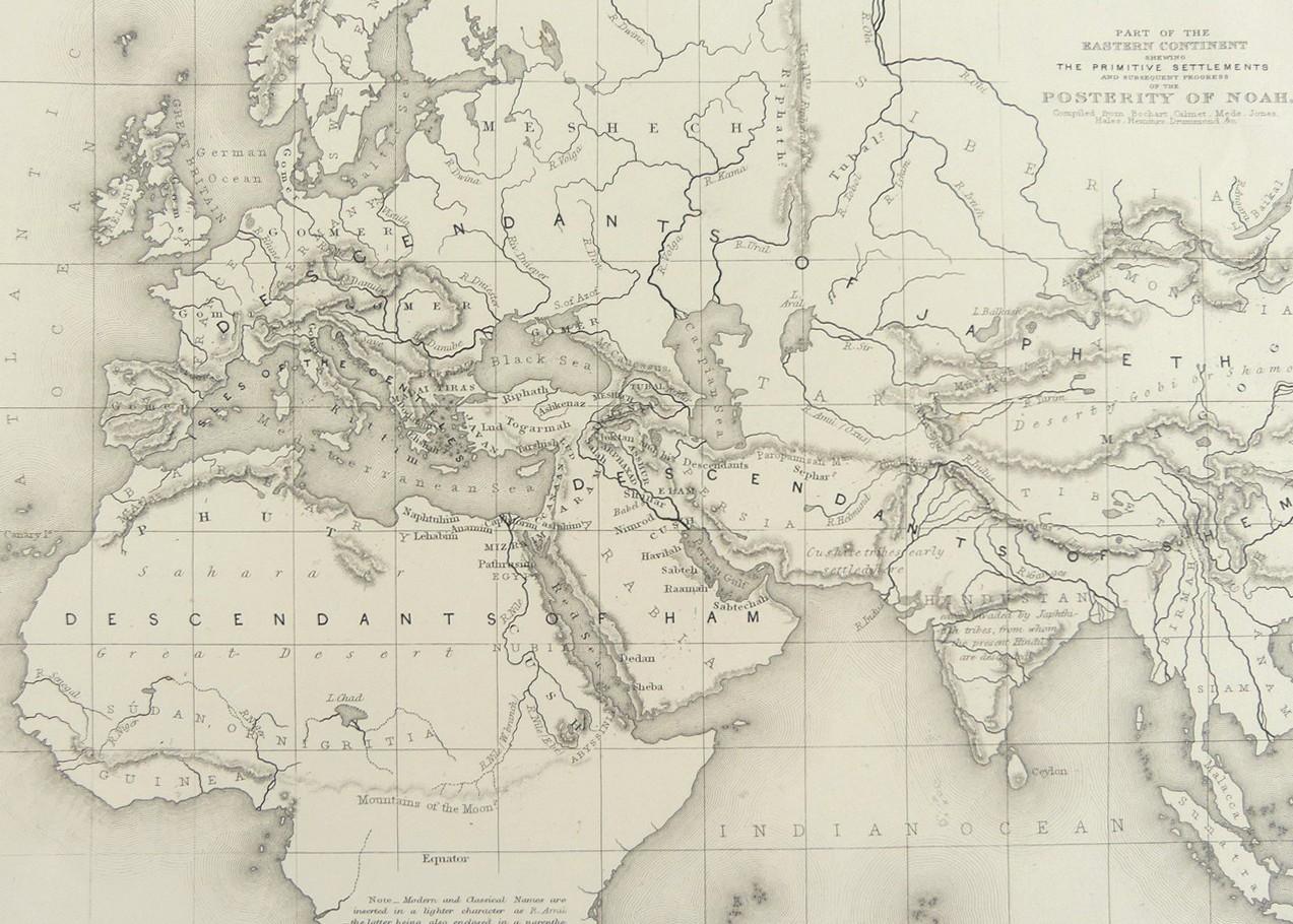
Signed "London, G. Virtue" to the lower margin, and inscribed "Part of the Eastern Continent Shewing The Primitive Settlements and Subsequent Progress of the Posterity of Noah", compiled from Bochart, Calmet, Mede, Jones, Hales, Hemings and Drummond
The map, created circa 1850, shows most of Europe, with parts of Asia and Africa sharing mountains, rivers and seas; presented in good condition with some wear around the border, image size 20.3 x 27.3cm (8 x 10 3/4in)
