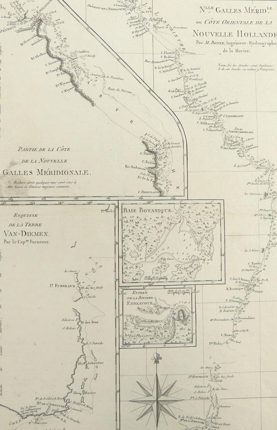
NOUVELLE HOLLANDE, 1788
LOT DETAILS
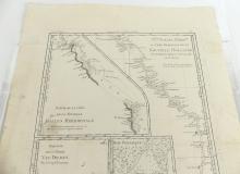
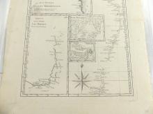
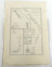
A rare original highly detailed copper-plate engraving (Plate 137) from M. Bonne, Ingenieur Hydrographe de la Marine, based on the accounts of both Cook’s First Voyage of Discovery in HMS Endeavour, and that of Captain Tobias Furneaux in HMS Adventure after being separated from Cook in 1773 on the latter’s second voyage, and published in Paris in the French 1788 edition of Rigobert Bonne’s "Atlas Encyclopedique" as Nlle Galles Meridle ou Cote Orientale de La Nouvelle Hollande; the full image contains 5 inset maps, Partie de La Cote Nouvelle Galles Meridionale, the second as per the full title (par M. Bonne), third, Esquisse de La Terre Van-Diemen (par le Capne Furneaux), Baie Botanique, and Entrée de La Riviere Endeavour; Cook reached the east coast of Australia in April 1770, and his charting represented an important cartographic reference in the exploration of Australia
Tobias Furneaux served in the British Navy in the American War of Independence commanding HMS Syren in the attack of Charleston on 28 June 1776; presented in very good condition, as a folding map, protected in clear film sleeve - image size 34.3 x 23.5cm (13 1/2 x 9 1/4in)
