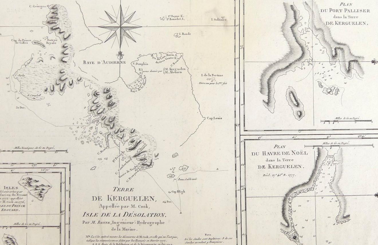
TERRE DE KERGUELEN, 178
LOT DETAILS
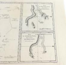
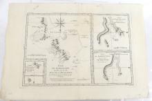
A rare original detailed copper-plate engraving by Jean Andre (Plate 140) from the work of M. Bonne, Ingenieur Hydrographe de la Marine, based on the accounts of Cook’s Third Voyage of Discovery in HMS Resolution, and published in Paris in the French 1788 edition of Rigobert Bonne’s "Atlas Encyclopedique" comprising 4 separate maps within the full image, the larger with the compass rose and fleur-de-lis indicating North, Terre De Kerguelen named as Isle De La Desolution and showing the track of the Resolution and Discovery over Christmas 1776, Plan du Port Palliser dans la terre de Kerguelen, Plan Du Havre de Noel dans La Terre Kerguelen showing anchorage locations, and lastly, Isles decouvertes par M. Marion du Fresne en 11772 and named Isles du Prince Edouard par M. Cook en 1776; Cook’s ships then sailed on to Van Diemen’s Land (Tasmania) arriving on 26 January 1777
Tasmania was named Van Diemen’s Land by Abel JanszoonTasman (1603-1659) after Antonio van Diemen, Governor General of the Dutch East Indies, after reaching its west coast on 24 November 1642; presented in very good condition, as a folding map, protected in clear film sleeve - image size 22.9 x 34.3cm (9 x 13 1/2in)
