2726
RARE MAP OF MEXICO & CENTRAL AMERICA CIRCA 1700
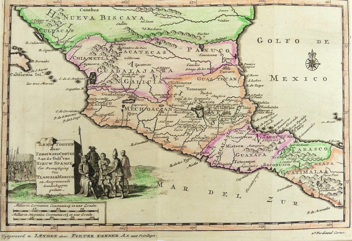
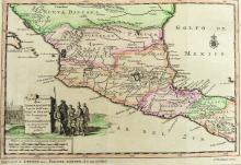
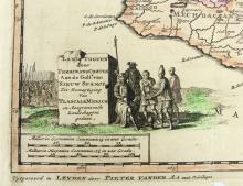
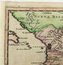
LOT DETAILS
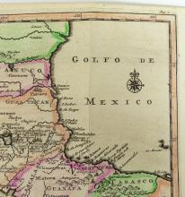
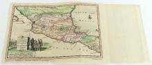
From the Nouvel Atlas, Covens & Mortier, an early hand-coloured map of Mexico and Central America by Pieter van der Aa, the rare point of mention is that California is shown as a small island to the left
Pieter van der Aa (1659- 1733) was a Dutch publisher best known for preparing maps and atlases, and some of his most popular maps were of the African continent, detailing locations such as Morocco and Madagascar; this map is presented in overall good condition, the colours vibrant, some folding and losses to the border - image size 15.2 x 22.9cm (6 x 9in)