2713
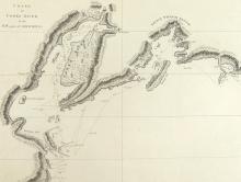
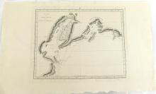
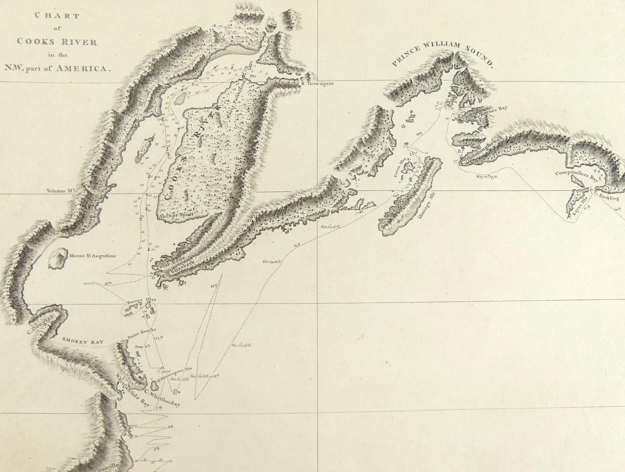
CHART OF COOKS RIVER IN THE N.W. PART OF AMERICA, 1784


LOT DETAILS
A rare original copper-plate highly topographically detailed engraving (Plate 44) with Writing by W. Harrison from Cook’s Third Voyage, and published in 1784 by Order of the Lords Commissioners of the Admiralty, printed by W. & A. Strahan for G. Nicol and T. Cadell
The chart shows Cook entering Prince William Sound on May 12th, 1778, entering Cook’s River on May 26th, departing June 6th, and finally leaving the general area June 9th; presented in very good condition, protected in clear film sleeve - image size 23.5 x 29.8cm (9 1/4 x 11 3/4in)
