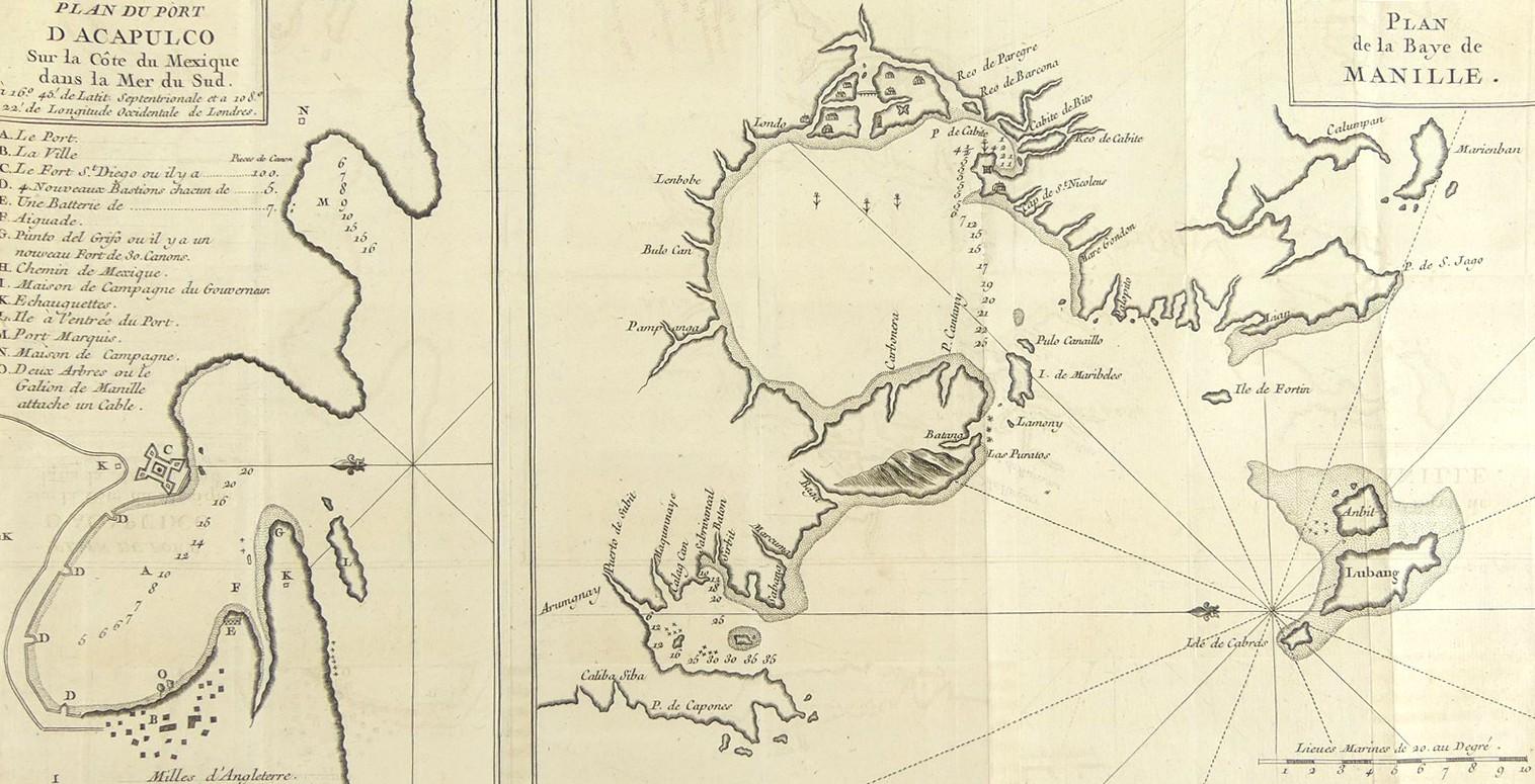
PLAN DU PORT D’ACAPULCO...CIRCA 1750
LOT DETAILS
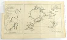
A rare original copper plate engraving (Tome. II, Pg 358) by Jean Lattre from the French Edition of the 1748 account of "A Voyage Round the World in 1740 by George Anson", and published in Paris around 1750
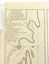
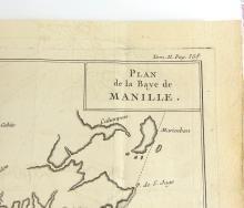
This is a particularly interesting mid-18th century plan of Acapulco, and an impressive mapping of Manila Bay from Anson’s expedition; the Acapulco plan shows a vey detailed description of all the old and new fortifications and their numerical armaments, the Governor’s Villa, and even the two trees to which the Galion de Manille would tie up; documentation is scarce as to the source of the latter information, perhaps much from the maps captured by Anson from the Spanish Galleon Nuestre Senora de Cavadonga on 20th June 1743; the map of Manila Bay and surrounding area coastline is quite intricate showing the anchorages of 4 ships, the two forts, a bridge, and housing
Presented in good condition, showing minimal edge toning, missing top left plate impression tab for original binding, fold lines, protected in clear film sleeve - overall image size 19.7 x 38.1cm (7 3/4 x 15in)
