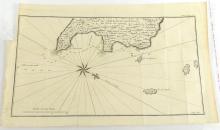
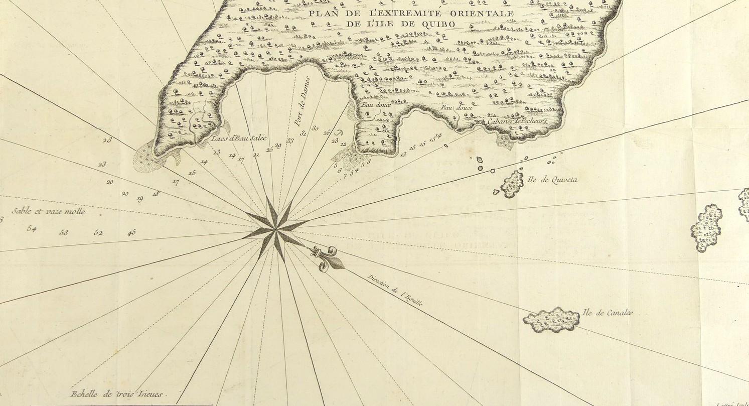
PLAN DE L’EXTREMITE ORIENTALE DE L’ILE DE QUIBO CIRCA 1750


LOT DETAILS
A rare original copper-plate engraving (Tome. II, Pg 282) by Jean Lattre from the French edition of the 1748 account of "A Voyage Round the World in 1740 by George Anson", and published in Paris around 1750
Anson’s expedition reached the island of Quibo after leaving Juan Fernandez, sailing along the Chilean coast from Valparaiso past the coast of Peru. After Quibo the expedition visited Acapulco in Mexico before turning west towards the Pacific to China; the map shows the anchorage point in the Port des Dames as well as fishermen’s huts (Cabanes de Pecheurs) further along the coast to the north
Presented in fairly good condition, showing minor edge toning, missing top left plate impression tab for original binding, fold lines, protected in clear film sleeve - image size 20.3 x 36.8cm (8 x 14 1/2in)
