2682
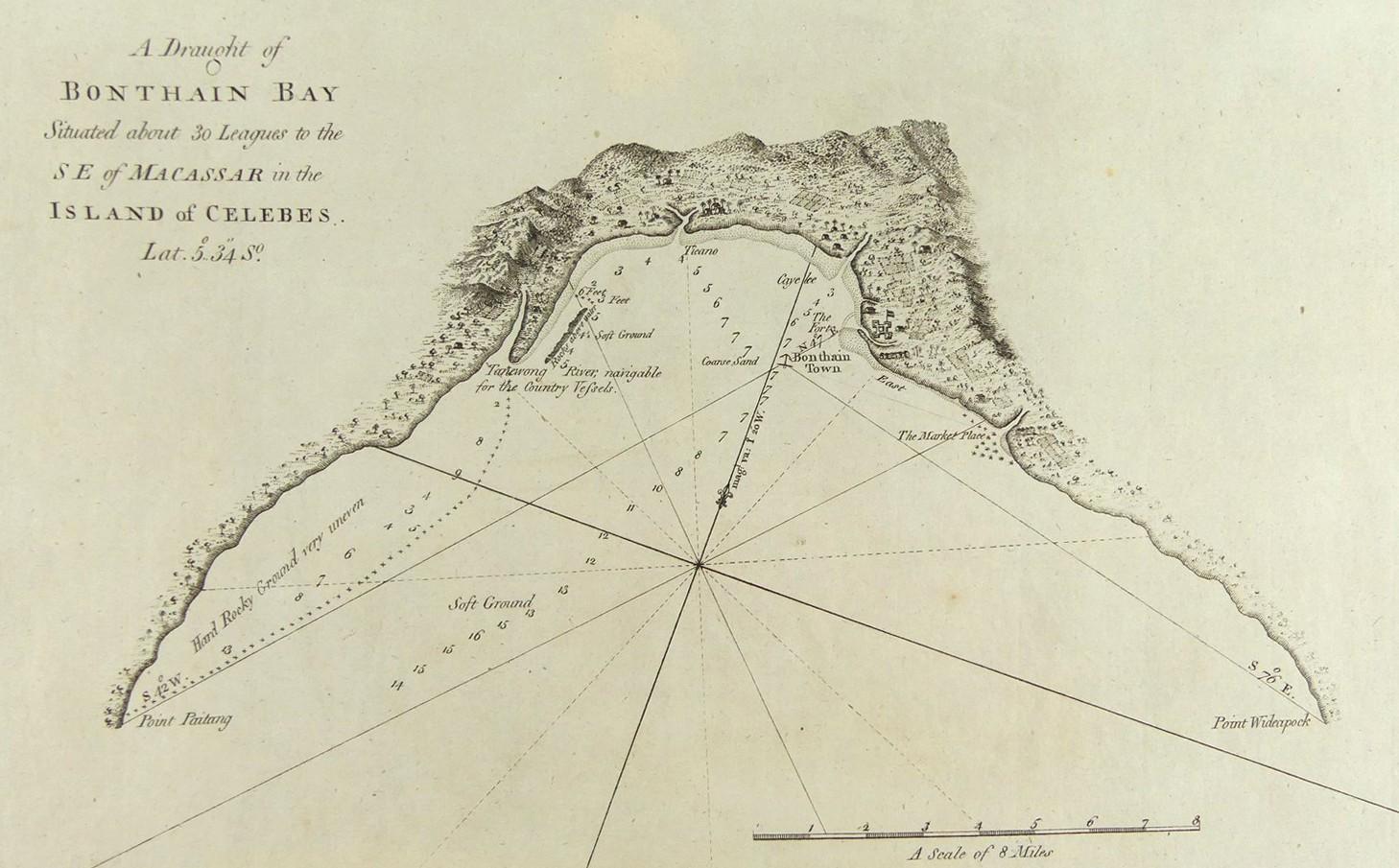
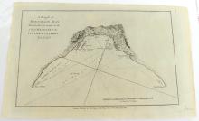
A DRAUGHT OF BONTHAIN BAY… IN THE ISLAND OF CELEBES, 1790
LOT DETAILS
An original copper-plate engraving copied from John Hawkesworth’s accounts of circa 1774 of Cook’s and other explorers’ voyages of discovery, and published by Alexander Hogg, London, in 1790; the map from Philip Carteret’s voyage shows Bonthain Town with its Fortress, as well as local habitations and the Market Place; presented in good condition, protected in clear film sleeve image size 20.3 x 32.4cm (8 x 12 3/4in)