2683
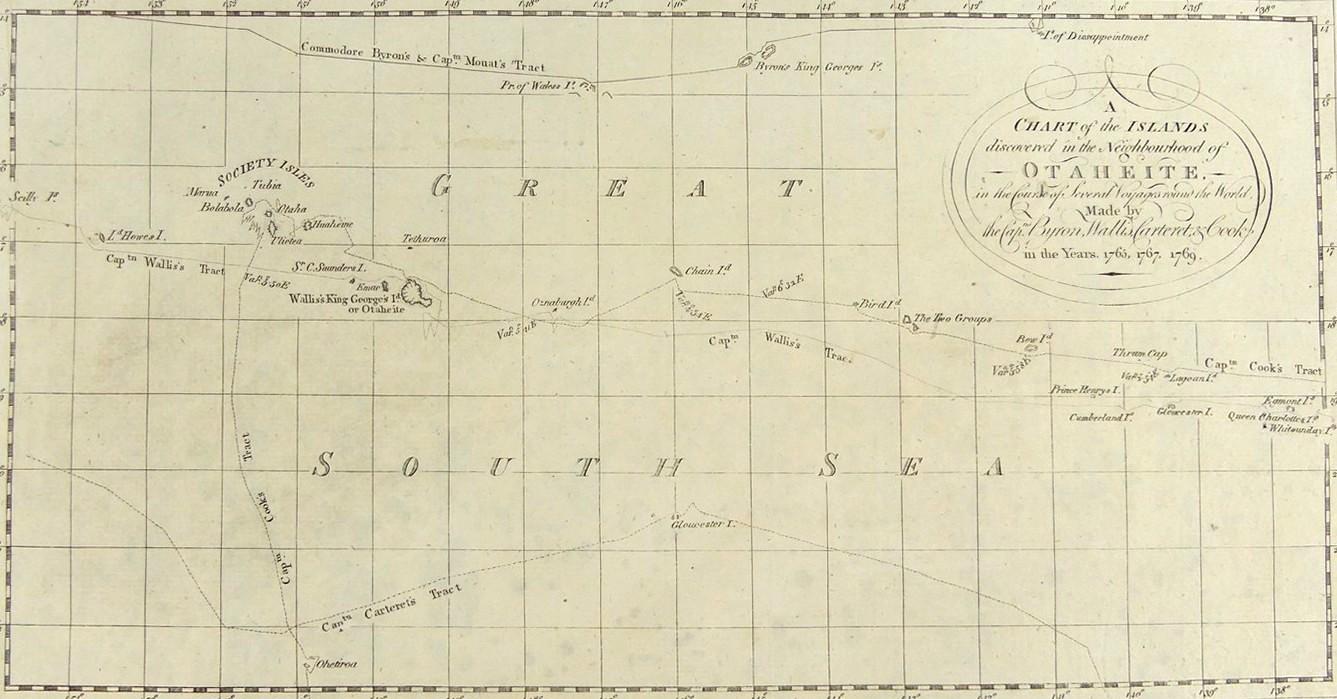
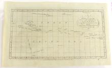
A CHART OF THE ISLANDS DISCOVERED IN OTAHEITE, CIRCA 1780
LOT DETAILS
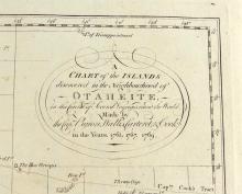
An original copper-plate engraving likely copied from John Hawkesworth’s accounts of c.1774 of Cook’s and other explorers’ voyages of discovery, and published by Alexander Hogg, London, around 1780; the complete title of the map includes "...in the Course of Several Voyages around the World, Made by the Capts. Byron, Wallis, Carteret, and Cook, in the Years 1765, 1767, 1769"; presented in good condition, protected in clear film sleeve, image size 17.8 x 34.3cm (7 x 13 1/2in)
