2677
1791 MAP OF EUROPE
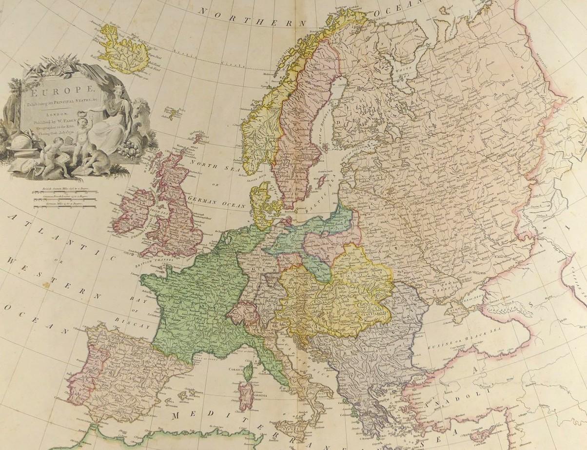
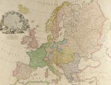
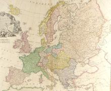
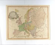
LOT DETAILS
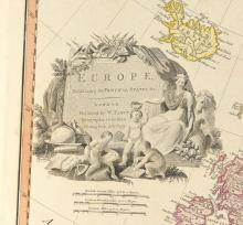
A rare, very large and detailed original hand-coloured copper-plate with fine decorative title cartouche showing a Queen holding a scepter watching over three children as they appear to study a map beside a globe and scientific instruments, engraving by William Palmer and published in London by W. Faden, Geographer to the King, Charing Cross, July 1st, 1791; it was also published in Faden’s General Atlas of 1811
Presented in very good condition on studio board with protective clear film, image size 50.8 x 66cm (20 x 26in)