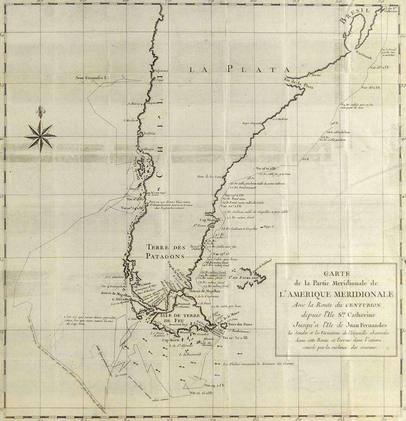
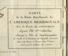
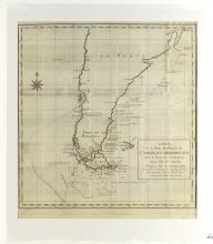
CARTE DE LA PARTIE MERIDIONALE DE L’AMERIQUE MERIDIONALE, 1750
LOT DETAILS
This rare original copper-plate engraving by Jean Lattre (an important Paris-based bookseller, map publisher, and calligrapher) was included in the 1750 French edition of a 1744 Voyage Round the World of Baron George Anson, (1697-1762), British Commodore and wealthy nobleman
The map (Ref; Tom. I, pg. 259) shows the track of Anson’s ship, The Centurion, between Ile de Ste Catherine, Bresil (Brazil), and the Ile de Juan Fernandes off Chile; of particular interest is the dramatic irregular course taken by The Centurion, showing the difference between the actual and estimated routes, as it battled the fierce currents and heavy winds in its endeavor to round Cape Horn, forever notorious for its extreme weather conditions
The events and activities of Anson’s voyage were documented by the ship’s chaplain, Richard Walter
Presented in good condition, exhibiting evidence of earlier restoration, and multiple folds characteristic of maps bound and published in smaller volumes, on studio board with protective clear film - image size 43.2 x 41.9cm (17 x 16 1/2in)