3857
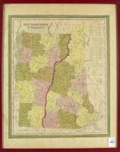
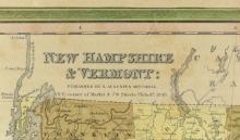
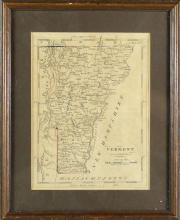
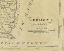
TWO ANTIQUE MAPS OF NEW HAMPSHIRE & VERMONT

LOT DETAILS
Two framed antique examples depicting views of New Hampshire and Vermont, sight 36.8 x 30.5cm (14 1/2 x 12in) and 20.3 x 15.2cm (8 x 6in), including one published by S. Augustus Mitchell and dated 1846