2195
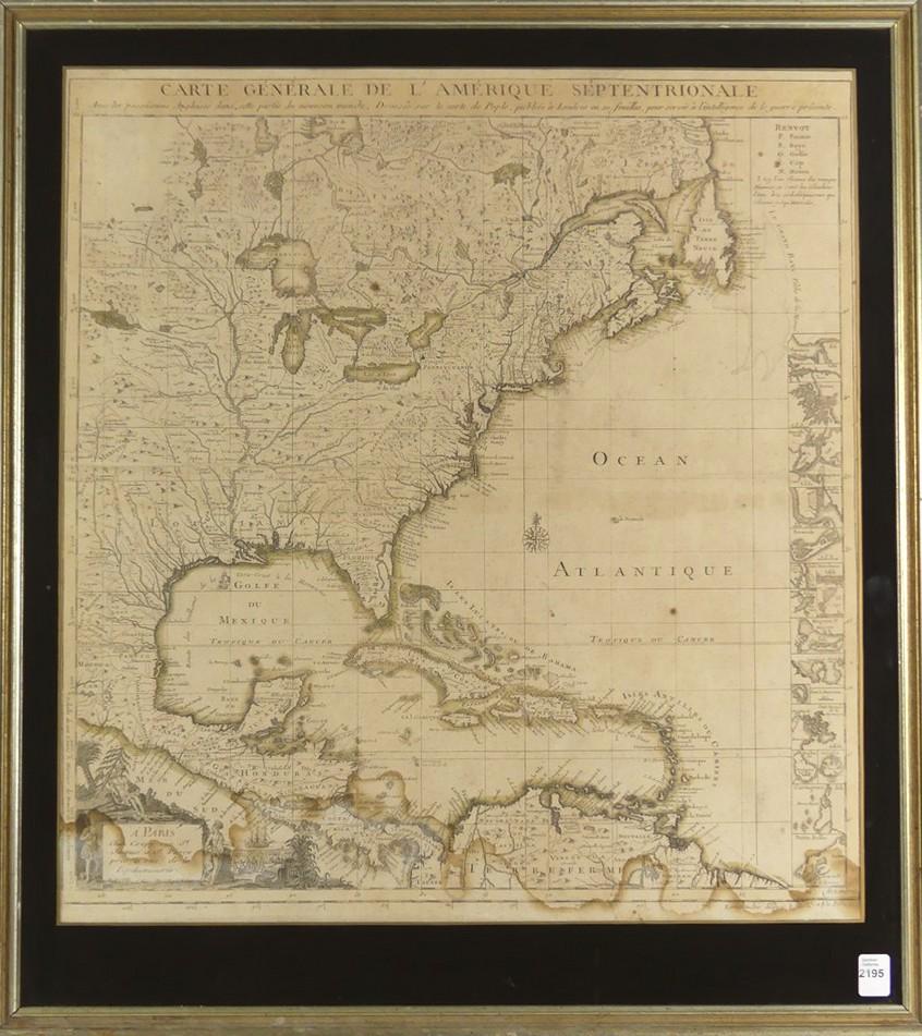
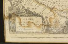
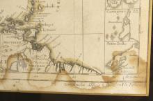
MAP OF NORTH AMERICA
LOT DETAILS
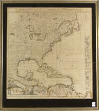
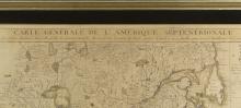
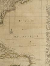
"Carte Generale de L'Amerique Septentrionale" depicting the southern United States to the north, Caribbean and northern South America to the south, sight 53.3 x 49.5cm (21 x 19 1/2in) - age of map not determined, water staining to lower section