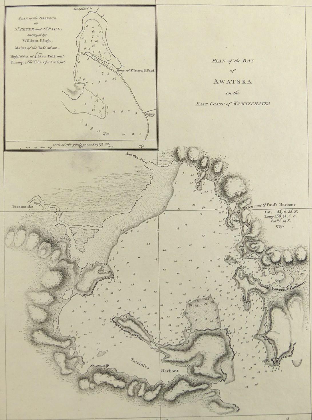
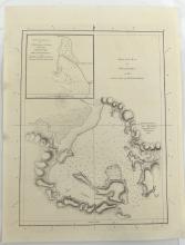
PLAN OF THE BAY OF AWATSKA, 1785
LOT DETAILS
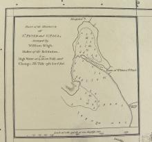
A rare original very detailed copper-plate engraving (Plate 69) from the 1785 account of Cook’s Third Voyage, by W.H(arrison) and includes an inset Plan of the harbour off St. Peter and St. Paul from a survey by William Bligh (1754-1817), Master of the Resolution, and published by G. Nicol and T. Cadell, London; the survey identifies the local hospital, town of St. Peter and St. Paul, otherwise known as Petropavlovsk, watering place, the ship’s anchorage, and tide details; Bligh was only 22 when he was appointed Sailing Master on HMS Resolution in 1776 under Captain Cook
Awatska lies on the East Coast of Kamtschatka, peninsula in Russian Far East; at this time, arriving in the area in April 1779, Cook’s ship Resolution was under the command of Captain Charles Clerke following the death of Cook on 14 February, 1779, in Hawaii; presented in very good condition, protected in clear film sleeve - image size 25.4 x 19.1cm (10 x 7 1/2in)
