KERGUELEN’S LAND, 1785


LOT DETAILS
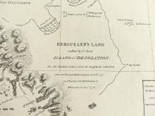
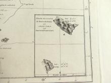
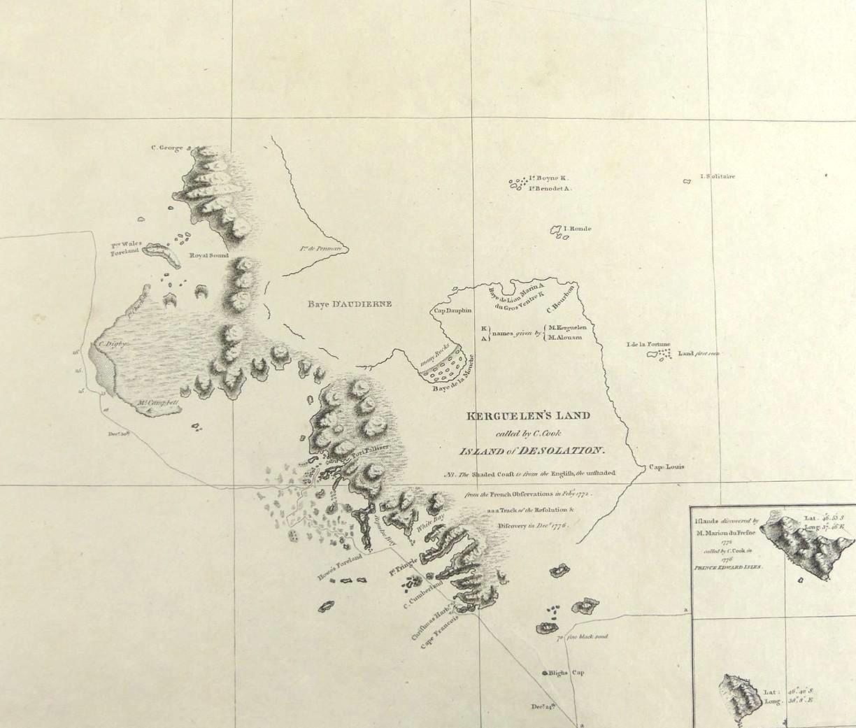
A rare original very detailed copper-plate engraving (Plate 2) from a drawing by Lt. Henry Roberts with writing by (Thos.) Harmar from the 1785 account of Cook’s Third Voyage, and includes an inset showing "Islands discovered by M. Marion du Fresne 1772, called by C. Cook in 1776 Prince Edward Isles", and published in 1785, London
Cook in HMS Resolution approached Kerguelen’s Land on December 24, 1776, and anchored at Christmas Harbour (shown by anchor on map) on December 25, 1776, thereafter sailing along the coast to Port Palliser, and finally departing the islands on December 30th
The map is very interesting in that it shows the shaded area as observed by the English, and the unshaded area from observation of the French expedition which first officially discovered the islands, led by French navigator, Yves-Joseph de Kerguelen-Tremarec (1734-1797) on 12 February 1772; Du Fresne was a French privateer, explorer, navigator, and cartographer, who was murdered on June12th, 1772, at Assassination Cove, Bay of Islands, New Zealand, in an onshore attack by the Ngare Raumati (Maori)
Presented in very good condition, protected in clear film sleeve - image size 24.8 x 28.6cm (9 3/4 x 11 1/4in)
