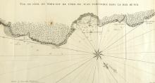
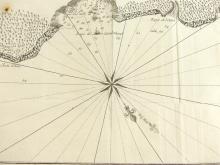
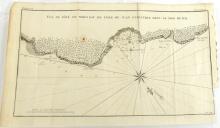
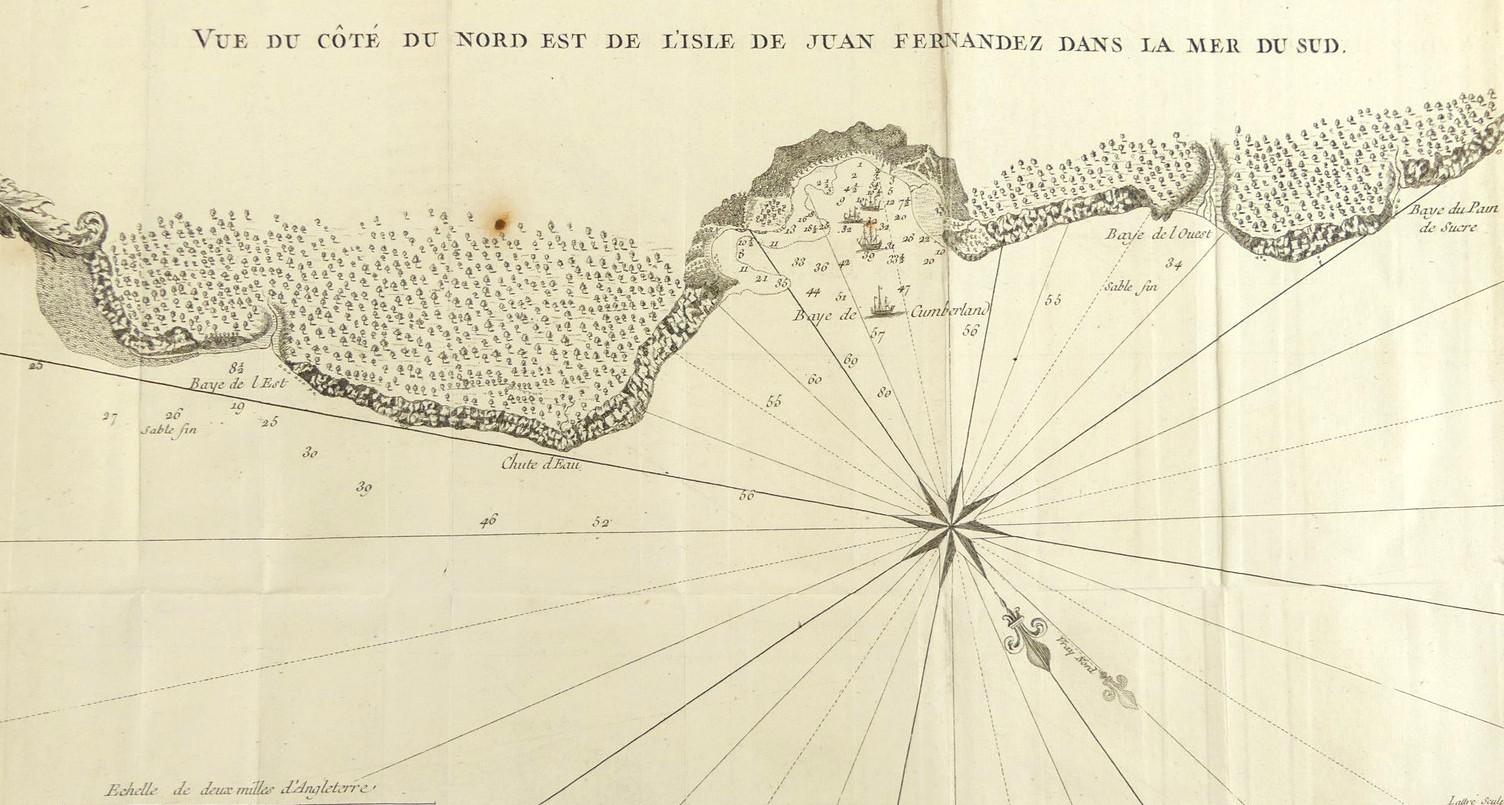
VUE DU COTE DU NORD EST DE L’ILE JUAN FERNANDEZ DANS LA MER DU SUD, CIRCA 1750


LOT DETAILS
A rare original copper-plate engraving (Ref : Planche VI, Tom. II, Pg 17) by Jean Lattre from the French Edition of the 1748 account of "A Voyage Round the World in 1740 by George Anson", and published in Paris around 1750
Anson's expedition reached the island in June 1741 and the map shows four of the original six warships, anchored in Cumberland Bay, that set out after rounding Cape Horn; the map is also of special interest as it was one of the very few to show both Magnetic and True North on the chart; the coastline was likely drawn by Capt. Piercy Brett (1709-1781) who was a junior officer on Anson's ship, the HMS Centurion
Presented in fairly good condition for the age, showing edge toning, small brown dot stain on the top tree line to the left, missing bottom right plate impression tab for original binding, fold lines, protected in clear plastic sleeve - image size 22.9 x 34.3cm (9 x 13 1/2in)
