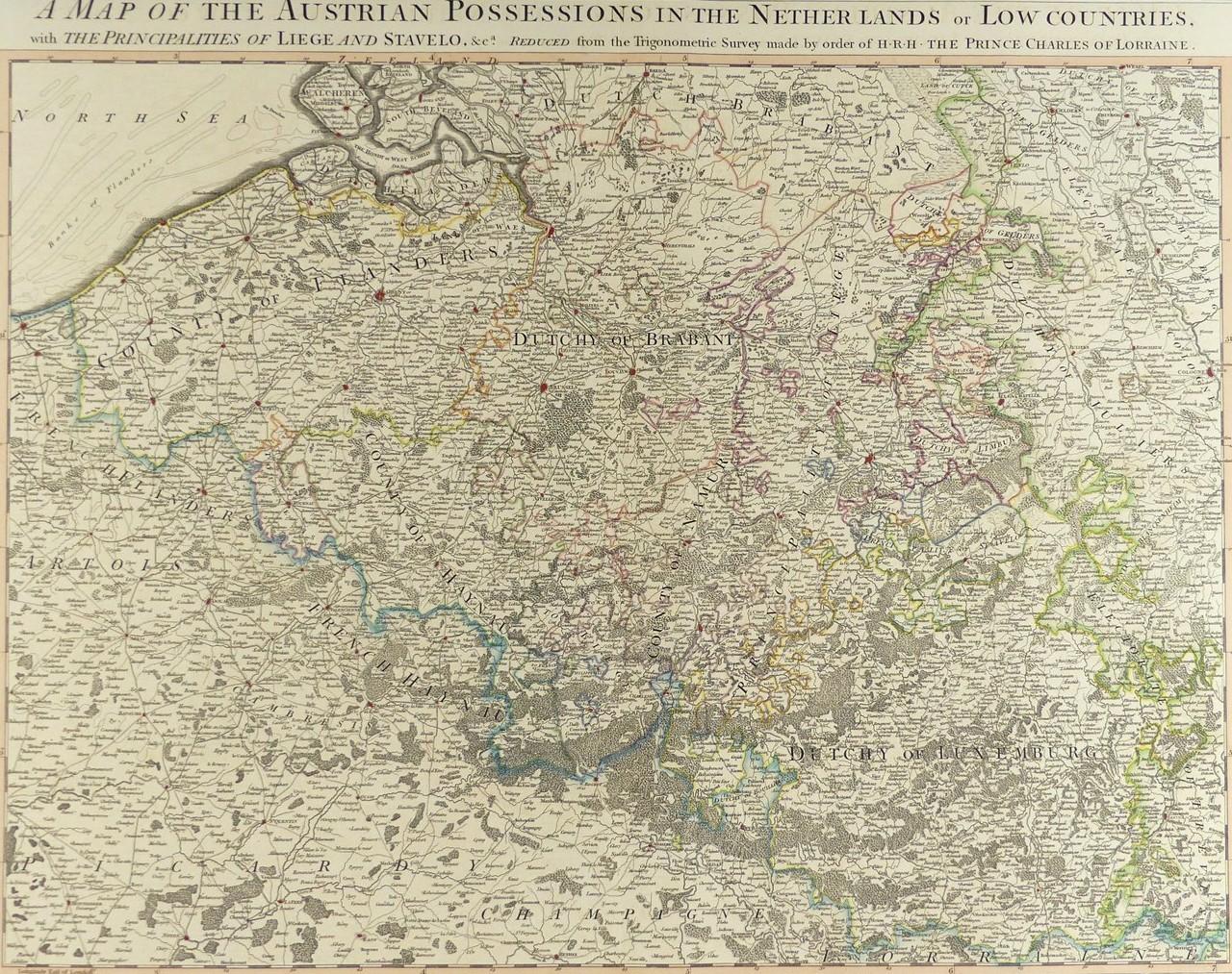
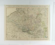
MAP OF THE AUSTRIAN POSSESSIONS IN THE NETHERLANDS, 1789

LOT DETAILS
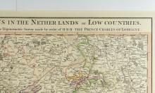
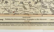
This rare hand coloured original copper-plate engraving which also includes The Principalities of Liege and Stavelo, was reduced from the Trigonometric Survey made by order of H.R.H. The Prince Charles of Lorraine, and published by William Faden, London, on June 1st, 1789
Prince Charles Alexandre Emanuel of Lorraine was born in the Duchy of Lorraine on December 12, 1712, and married Archduchess Maria Anna Eleonore Wilhelmine Josepha of Austria which gave him succession rights through marriage to rule Austria; he was an Austrian general and soldier, field-marshal of the Imperial Army and Governor of the Austrian Netherlands, also described as the Low Countries
Presented in very good and undamaged condition on studio board with protective clear film - image size 48.3 x 58.4cm (19 x 23in)
