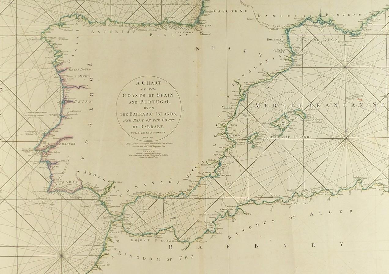
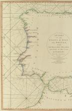
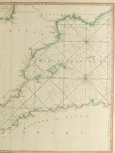
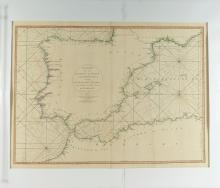
1780 CHART OF THE COASTS OF SPAIN & PORTUGAL
LOT DETAILS
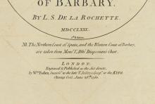
This rare large and detailed hand-coloured original copper-plate engraving was published by William Faden at Charing Cross, London, on June 28, 1780, in his capacity as successor to the late T. Jefferys, Geographer to the King (George III)
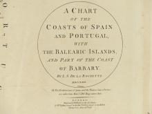
The Chart by prominent cartographer and copper plate engraver, Louis Stanislas d’Arcy De La Rochette (1731-1802), also includes the Balearic islands and part of the Coast of Barbary; the northern coast of Spain and the west coast of Barbary were taken from the Chart of Monsieur L’Abbe Jacques-Francois Dicquemare (1733-1789), important French astronomer and geographer; East and West Longitudes are based from London
This fine undamaged chart is presented on studio board with protective clear film - image size 50.8 x 71.1cm (20 x 28in)
