2638
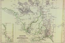
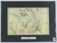
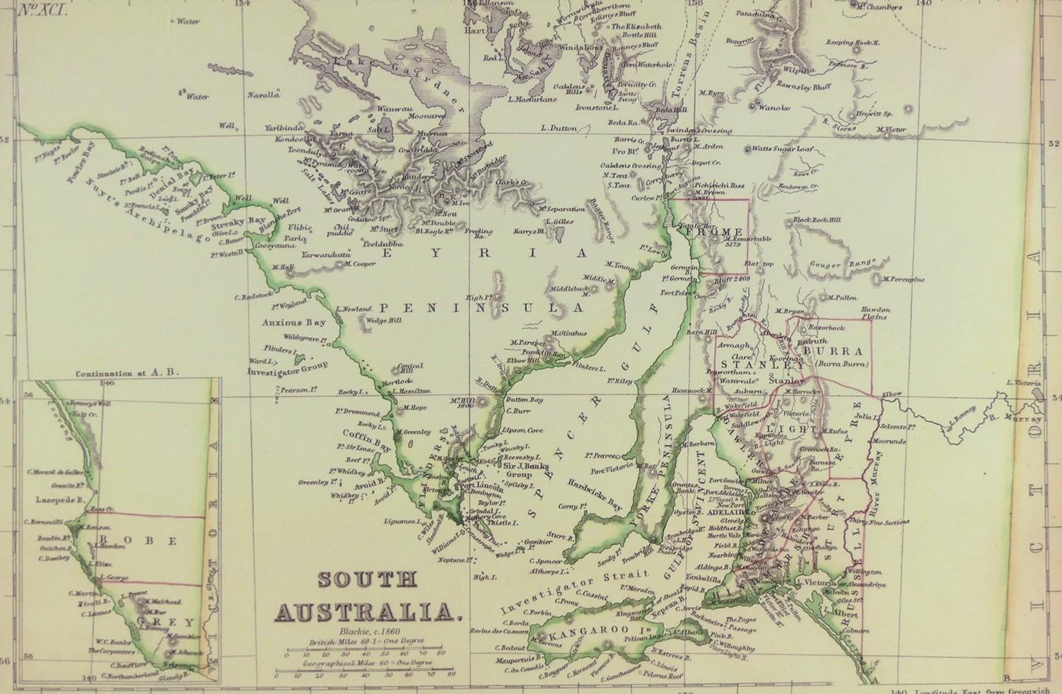
MAP OF SOUTH AUSTRALIA CIRCA 1860


LOT DETAILS
An original hand-coloured steel plate engraving from The Imperial Atlas of Modern Geography, an Extensive Series of Maps published by W.G. Blackie of Scotland in 1860; presented in excellent condition in dark green matt with protective sleeve, image size 20.3 x 30.5cm (8 x 12in)
