2637
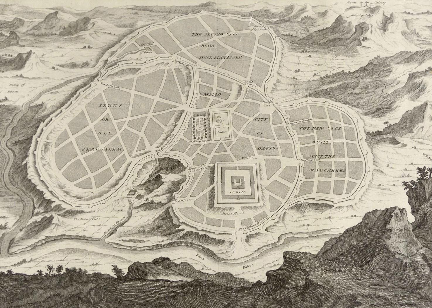
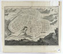
A NEW PLAN OF OLD JERUSALEM, CIRCA 1725-1732
LOT DETAILS
A very rare and important original copper-plate engraved plan of Old Jerusalem from a historical, critical, geographical Bible dictionary of the Holy Bible, printed in 1732 in London (Ref: Vol. I, 2nd Ga. S.); the map was created circa 1725 by Antoine Augustin Calmet (1672-1757), a French Benedictine Monk and Biblical Scholar, and first published in Latin in 1726; an original Latin copy of the Biblical works containing the map is held in the National Library of Israel in the Eran Laor Cartographic Collection
Presented in very good condition for its age, exhibiting no damage save for a slight indication of centre fold stemming from its original location in the Biblical volume - image size 30.5 x 41.9cm (12 x 16 1/2in)
