ONLINE
THE CAPTAIN'S CABIN
3051
18TH CENTURY EPHRAIM CHAMBERS ENCYCLOPEDIA
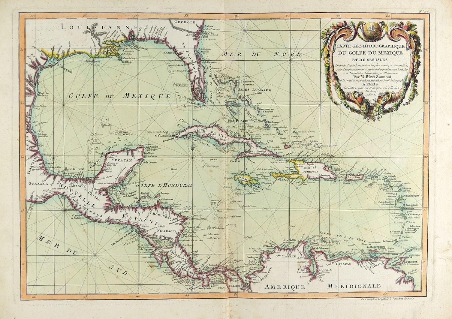
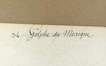
Printed by M. Rizzi Zannoni circa 1740, a hand-coloured map of the Gulf of Mexico, sheet size 36.2 x 50.8cm (14 1/4 x 20in) - centre folding, some discolouration to paper