2071
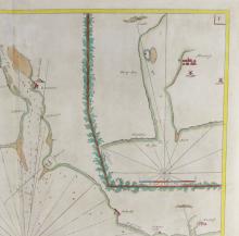
17TH CENTURY SEA CHART
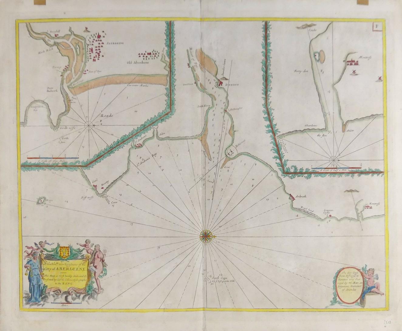
LOT DETAILS
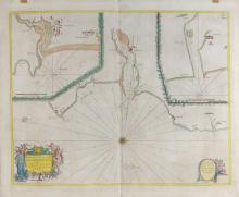
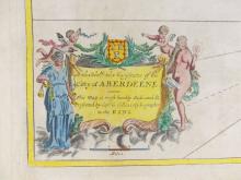
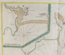
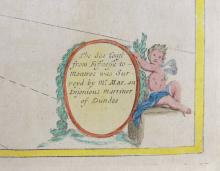
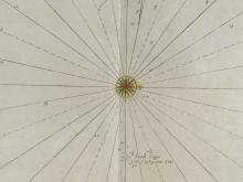
Early sea chart depicting approaches to Aberdeen, Dundee and Montrose, "To the Honble. The Magistrates of the Ciity of Aberdeene"; dedicated and presented by Captain G. Collins, hydrographer to the King; copperplate on thick paper and hand-coloured; in overall good condition for age, some light discolouring and central folding; unframed, the sheet size measures 50.8 x 61.6cm (20 x 24 1/4in)