ONLINE
ANTIQUARIAN BOOKS, EARLY WEAPONS & RARE ODDITIES
2567
MEDICAL VOLUMES FROM THE LIBRARY OF DR. JOHN HYNDMAN
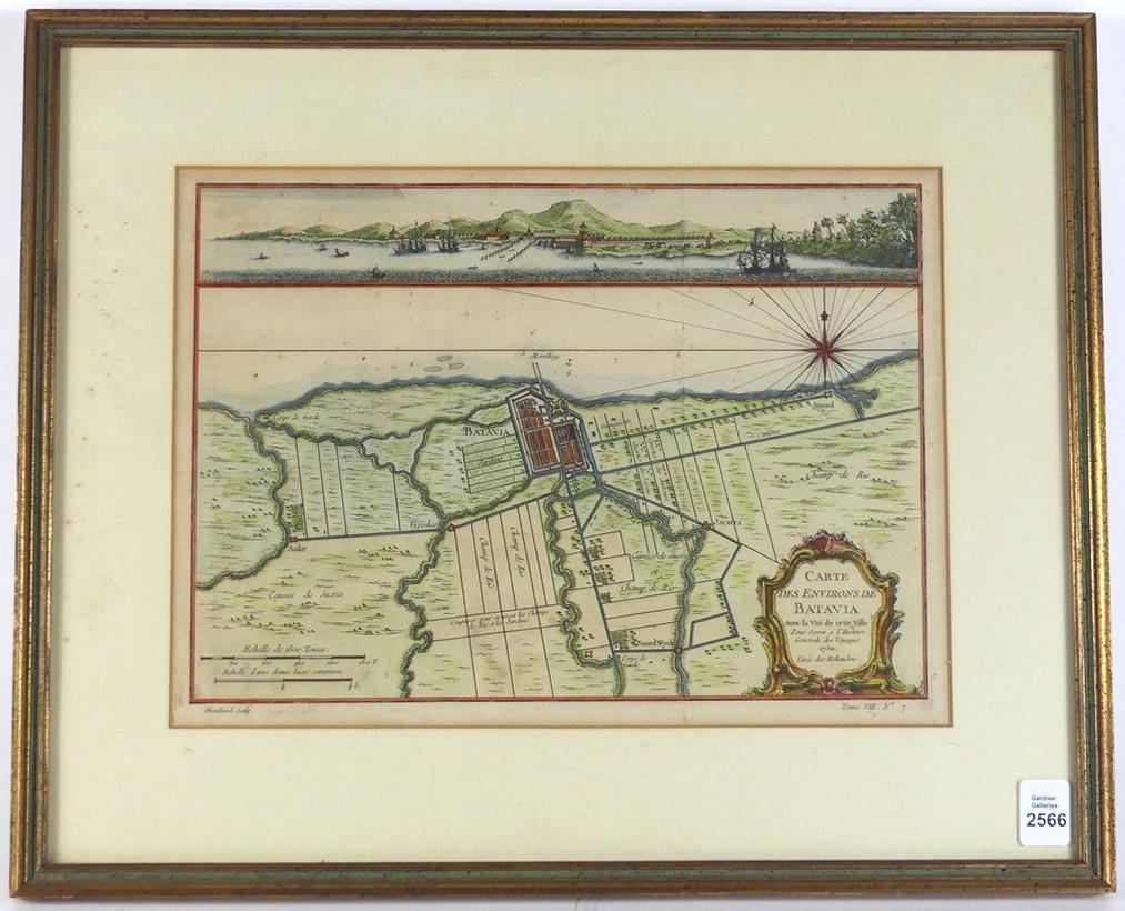
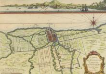
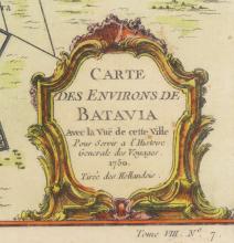
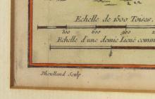
Antique Map "Carte des environs De Batavia" (Map of Batavia and its surroundings), hand coloured, sight 21.6 x 29.8cm (8 1/2 x 11 3/4in)