2306
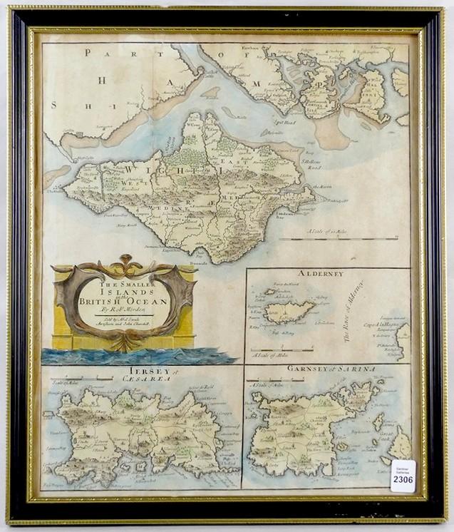
17TH CENTURY MAP

LOT DETAILS
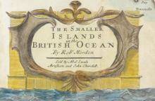
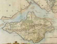
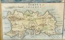
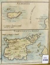
Early hand-coloured map "The Smaller Islands in the British Ocean" depicting parts of Hampshire, Jersey of Caesarea, Alderney and Garnesy of Sarina by Robert Morden (1650-1703), and sold by Abel Swale and John Churchill, displayed in an antique frame measuring 40.6 x 34.9cm (16 x 13 3/4in)