3350
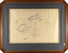
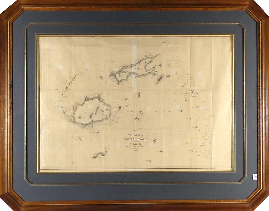
CHART OF THE VITI GROUP OR FIJI ISLANDS, 1840


LOT DETAILS
The Chart of the Viti Group or Feejee Islands by the U.S. Ex. Ex., Charles Wilkes, Esq., VCommander, 1840, beautifully detailed and finely crafted steel-plate engraving by Sherman and Smith of New York of the "Feejee Islands" was published by G.P. Putnam and Co. in 1845 in Charles Wilkes’ "U.S. Exploring Expedition to the Pacific"
This rare map is considered to be the first accurate scientifically produced map of the Fiji Islands, presented in beautiful and creative matting and Koa wood frame - image size 61 x 88.9cm (24 x 35in), frame outer dimensions 97.2cm x 1.22m (38 1/4 x 48in)
