3340
ANTIQUE MAPS CIRCA 1880

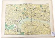
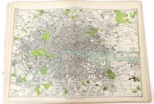
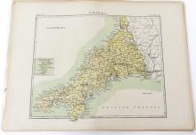
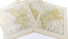
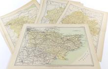
LOT DETAILS
17 maps including London, Central London, and English Counties from Cornwall to Lincoln; these were included in the Ninth Edition of Encyclopedia Britannica (1875-1889) and are all in excellent condition, image sizes approximately 19 x 24cm (7 1/2 x 9 1/2in)