2705
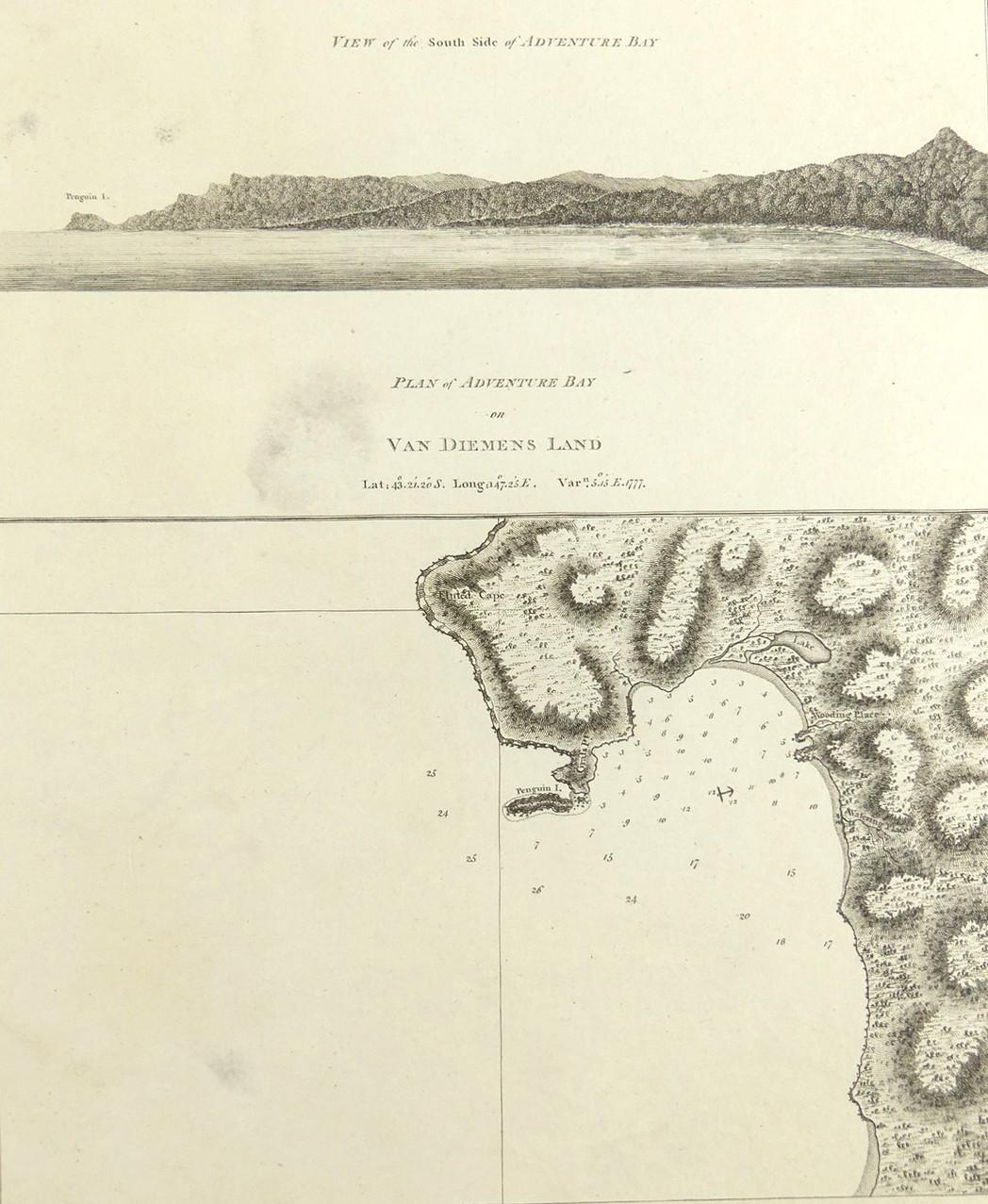
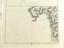
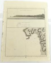
PLAN OF ADVENTURE BAY ON VAN-DIEMEN’S LAND, 1784
LOT DETAILS
A rare original copper-plate engraving (Plate 9) from an original 1773 survey of Capt. Tobias Furneaux, copied by Lt. Henry Roberts in 1777 on Cook’s Third Voyage, and published in 1784 by Order of the Lords Commissioners of the Admiralty, printed by W. & A. Strahan for G. Nicol and T. Cadell; the image includes "A view of the South Side of Adventure Bay" illustrating the coastal topography; the map shows the location of the anchorage and where the expedition accessed fresh water; presented in very good condition, protected in clear film sleeve - image size 24.8 x 20.3cm (9 3/4 x 8in)
