2681
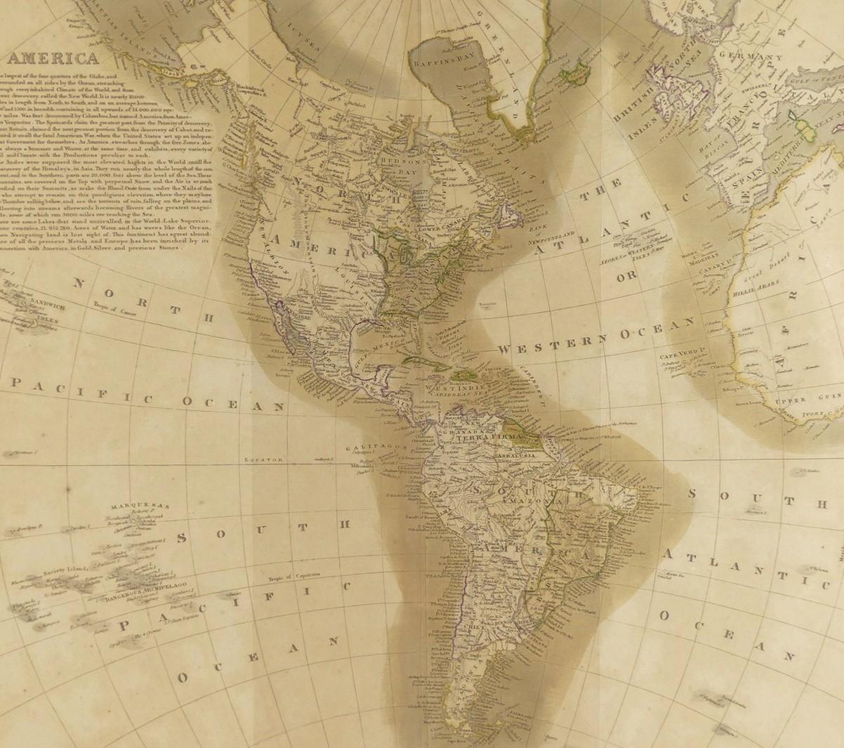
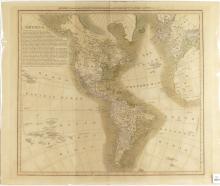
IMPORTANT LEWIS & CLARK MAP OF THE AMERICAS CIRCA 1815


LOT DETAILS
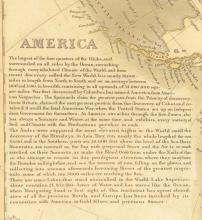
Early 19th century John Thomson map of the Americas titled to the upper margin "America with the Latest Discoveries of Humboldt, Clarke, Lewis", engraved by J & G Menzies circa 1815; this map shows the latest discoveries at the time in Canada, the United States, Central and South America
Presented in fine condition on studio board with protective clear film, some discolouration and small tear on lower border, image size 43.8 x 49.5cm (17 1/4 x 19 1/2in); Note: John Menzies (1772 - 1857) was a Scottish engraver active in Edinburgh during the late 18th and early 19th centuries
