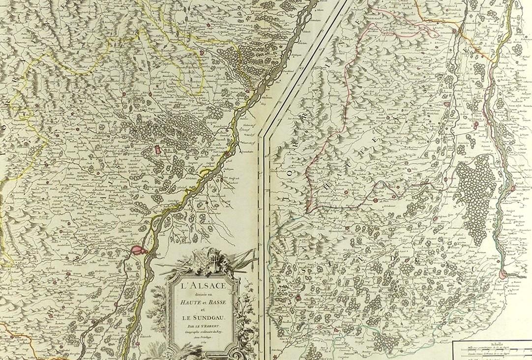
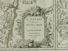
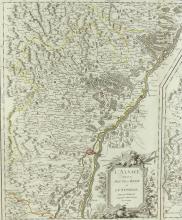
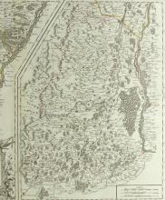
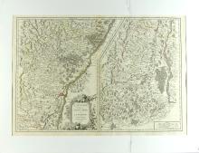
L’ALSACE, 1754
LOT DETAILS
A rare, large and highly detailed, original outline hand-coloured copper- plate with fine decorative title cartouche, engraving by Robert de Vaugondy; this is a scarce and beautiful map of the Alsace region divided into two parts - left features the department of Bas-Rihn and extends from Lauterburg south to Dambach-La-Ville, France, while the right depicts the department Haut-Rihn from Dambach- La-Ville south to Montbeliard; the detail of roads, canals, rivers, cities, villages, chateaux, topography and forests is extraordinary
This map is included in De Vaugondy’s Atlas Universel of 1757 which was one of the first atlases to be based on actual surveys thereby ensuring its high degree of accuracy; De Vaugondy’s maps are considered historically important for the universal respect he achieved for producing the most detailed and accurate maps of the period
Presented in excellent condition on studio board with protective clear film, image size 48.3 x 69.9cm (19 x 27 1/2in)