2663
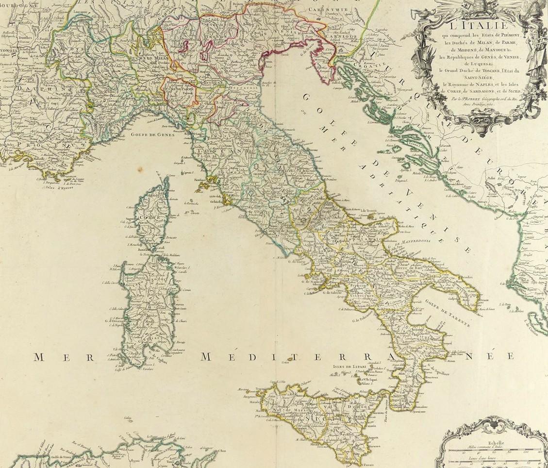
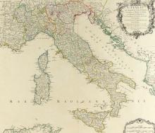
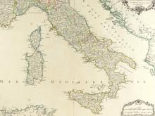
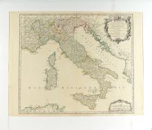
1750 MAP OF ITALY
LOT DETAILS
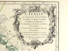
A rare original large outline hand-coloured highly detailed copper-plate with fine cartouche, engraving by Robert de Vaugondy and included in his Atlas Universel of 1757; De Vaugondy’s maps are considered historically important for the universal respect he achieved for producing the most detailed and accurate maps of the period; presented in very good condition on studio board with protective clear film - image size 48.3 x 55.9cm (19 x 22in)