2640
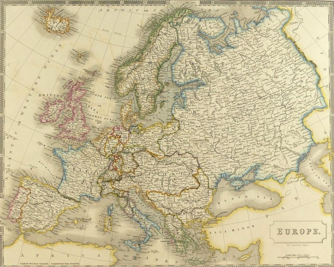
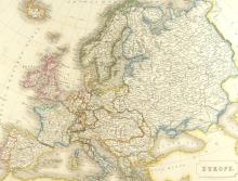
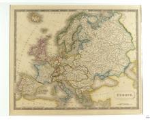
1828 MAP OF EUROPE
LOT DETAILS
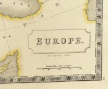
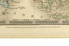
This hand-coloured original copper-plate engraving by Sidney Hall, well-known British engraver and cartographer, was first published by Longman, Rees, Orme, Brown and Green of Patternoster Row, London, on February 1, 1828, and incorporated as Plate 4 in the New General Atlas of 1830; presented in excellent condition on studio board with protective clear film, image size 40.6 x 50.8cm (16 x 20in)
