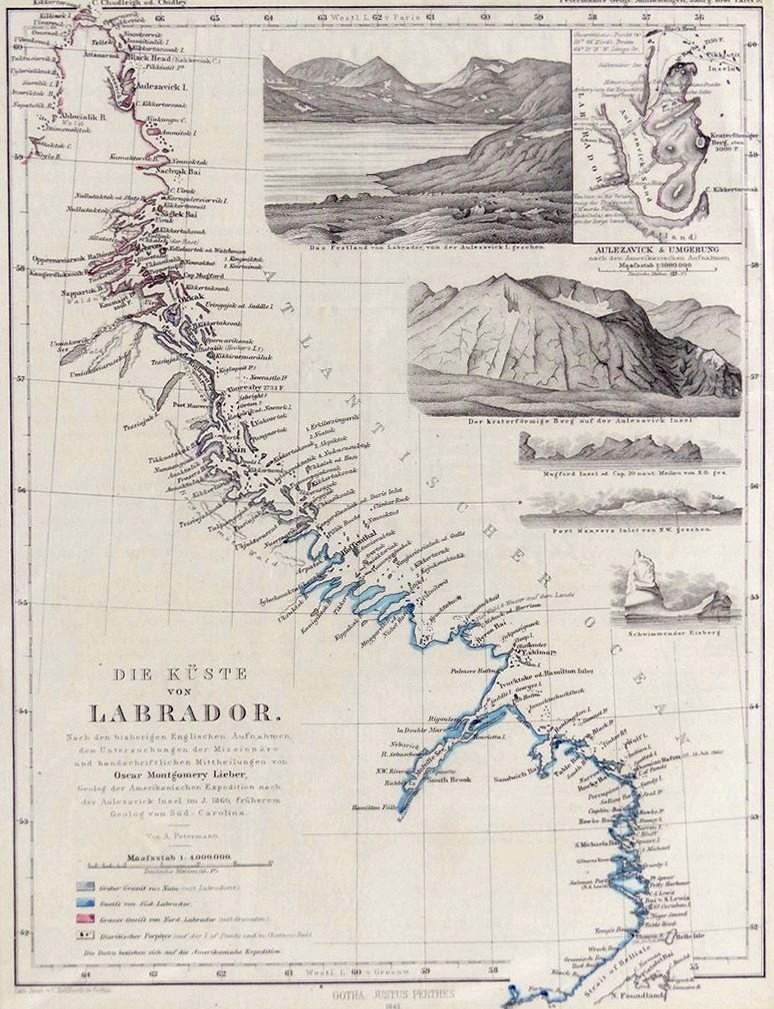
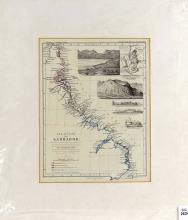
1861 MAP OF THE COAST OF LABRADOR
LOT DETAILS
"Die Kuste von Labrador", an important and rare original engraving illustrating the mapping of the coast of Labrador and showing all major towns with inset detailed landscape views; published by Justus Perthes Publishers in Gotha, Germany in 1861; the latter company, engaging in publishing geographical atlases and maps, was established in 1785 by Johann Georg Justus Perthes (1749-1816) and they published Petermann’s Geographische Mitteilungen in 1861 in which this map was plate 9; August Heinrich Petermann (1822-1878) was a German cartographer
The map was created by U.S. geologist, Oscar Montgomery Lieber (born 1830, Boston) from his time with the 1860 American Astronomical Expedition to Labrador; from 1856 to 1860, Lieber held the office of mineralogical, geological, and agricultural surveyor of South Carolina; at the beginning of the American Revolution, he joined the Confederate Army but died of his wounds at the Battle of Williamsburg on 27 June 1862
Presented in fine condition with surrounding matt and protective sleeve, image size 24.1 x 19.1cm (9 1/2 x 7 1/2in)
