2048
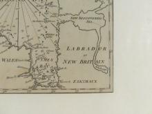
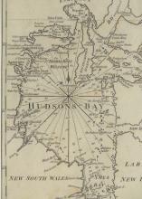
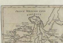
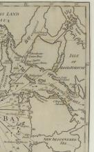
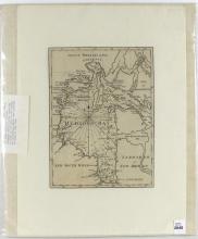
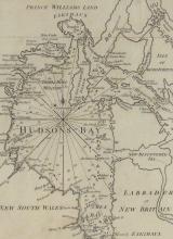
MAP OF HUDSON'S BAY CIRCA 1745-1750
![MAP OF HUDSON'S BAY CIRCA 1745-1750](https://gardnergalleries.com/sites/default/files/styles/medium/public/2048_1.jpg?itok=pKwjf40G)
![MAP OF HUDSON'S BAY CIRCA 1745-1750](https://gardnergalleries.com/sites/default/files/styles/medium/public/2048-1_1.jpg?itok=oipsd7rB)
![MAP OF HUDSON'S BAY CIRCA 1745-1750](https://gardnergalleries.com/sites/default/files/styles/medium/public/2048-2.jpg?itok=0vLDsUF_)
![MAP OF HUDSON'S BAY CIRCA 1745-1750](https://gardnergalleries.com/sites/default/files/styles/medium/public/2048-3.jpg?itok=yyrEXtTh)
![MAP OF HUDSON'S BAY CIRCA 1745-1750](https://gardnergalleries.com/sites/default/files/styles/medium/public/2048-4.jpg?itok=vGuJQKUq)
![MAP OF HUDSON'S BAY CIRCA 1745-1750](https://gardnergalleries.com/sites/default/files/styles/medium/public/2048-5.jpg?itok=Wx0jNvU4)
![MAP OF HUDSON'S BAY CIRCA 1745-1750](https://gardnergalleries.com/sites/default/files/styles/medium/public/2048-6.jpg?itok=c3mgWKVf)
![MAP OF HUDSON'S BAY CIRCA 1745-1750](https://gardnergalleries.com/sites/default/files/styles/medium/public/2048-9.jpg?itok=tPcmIu3D)
LOT DETAILS
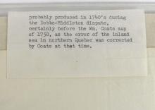
Very early original map of Hudson's Bay and area with Prince Williams Land to the north and New South Wales and Labrador or New Britain to the south; cartographer unknown, but considered opinion states the map was "probably produced in the 1740's during the Dobbs-Middleton dispute of 1743-1745, certainly before the Wm. Coats map of 1750, as the error of the inland sea in northern Quebec was corrected by Coats at that time"; the map is in very good condition for its age, image size approximately 15.2 x 20.3cm (6 x 8in); exhibiting no damage and protected by plastic sleeve