4068
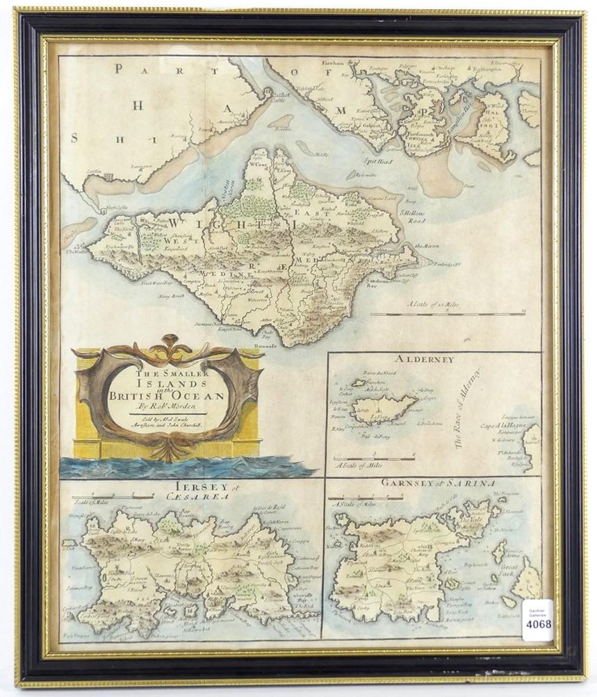
RARE 17TH CENTURY MAP
LOT DETAILS
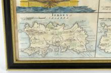
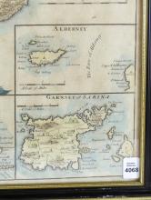
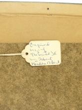
Original antique map of "The Smaller Islands of the British Ocean" by Robert Morden, published in Camden's Britannia by Abel Swale Awnsham and John Churchill, London, 1695, copper engraving with hand-colouring; an interesting example with decorative title cartouche covering The Isle of Wight, Scilly Isles, Holy Island, The Farne Islands, Alderney, Guernsey and Jersey, sight 36.8 x 30.5cm (14 1/2 x 12in) housed in an antique frame
