4049
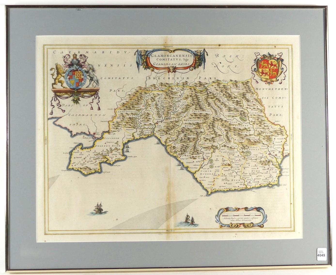
17TH CENTURY MAP OF WALES


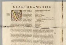
LOT DETAILS
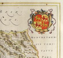
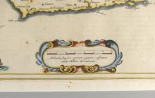
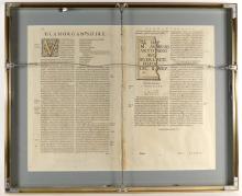
A copper engraved hand-coloured Dutch school map circa 1645 of Glamorgan County, Wales, showing the county 100 years after it had fallen under English rule; with the coat of arms of the Royal Family and three other cartouches; Latin inscriptions to the reverse; sight 41.3 x 53.3cm (16 1/4 x 21in)