4011
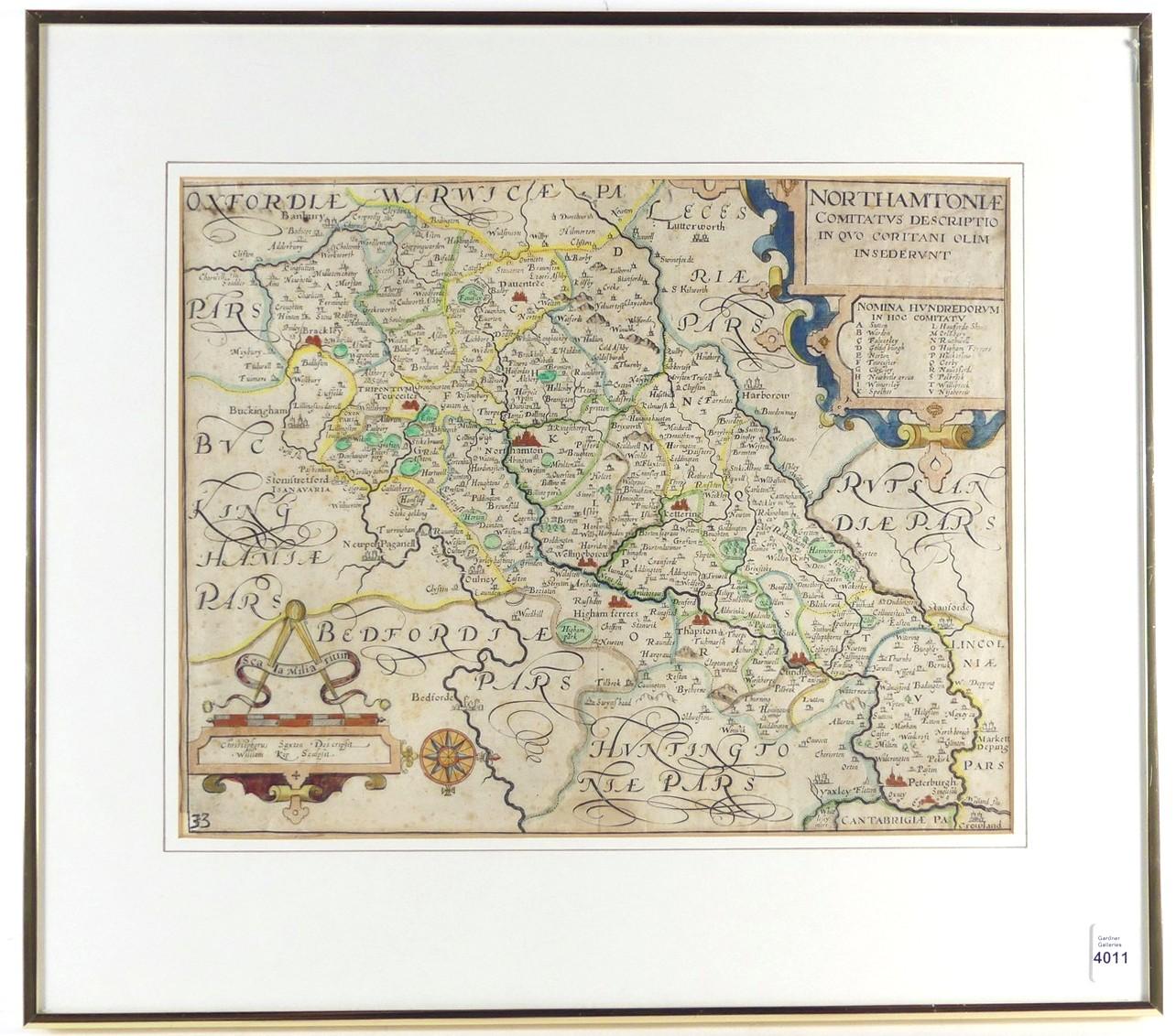
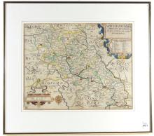
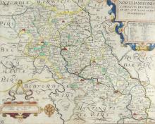
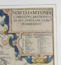
17TH CENTURY ENGLISH MAP
LOT DETAILS
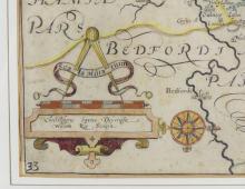
Titled upper right corner "Northamtoniae Comitatus Descriptio In Quo Oli, Insederunt" depicting an early 1637 map of Northampton, England, hand-coloured copper engravings; a good example of Christopher Saxton's map published in Camden's Britannia London, with two decorative cartouches and a compass rose - minor foxing, small tear lower left, centre fold mark; sight 27.9 x 35.6cm (11 x 14in)