3344
ANTIQUE MAPS: VOYAGE OF PHILIP CARTERET, 1766-1769
LOT DETAILS
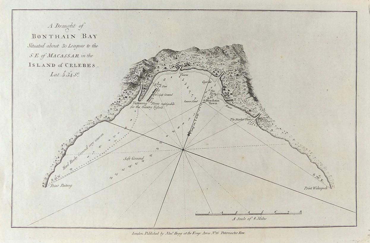
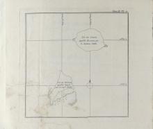
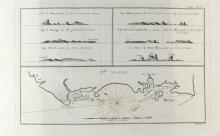
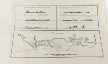
A selection of 6 rare original copper-plate engravings from 3 separate sources, the smaller maps from the 1774 French Edition from John Hawkesworth’s 1773 accounts of various explorers' voyages of discovery, and the larger 3 maps from the Bonne "Atlas Encyclopedique" of 1788, all of which referred to Philip Carteret's (HMS Swallow) and Samuel Wallis' (HMS Dolphin) 4-year around the world voyage of 1766-1769; also showing from the French Atlas, the route of William Dampier, c.1700, with the last map of Bonthain Bay, Island of Celebs, printed c.1790 by Alex Hogg from John Hawkesworth's work; in good and very good condition in protective plastic sleeve
