3330
ANTIQUE MAPS: VOYAGE OF GEORGE ANSON, CIRCA 1750
LOT DETAILS
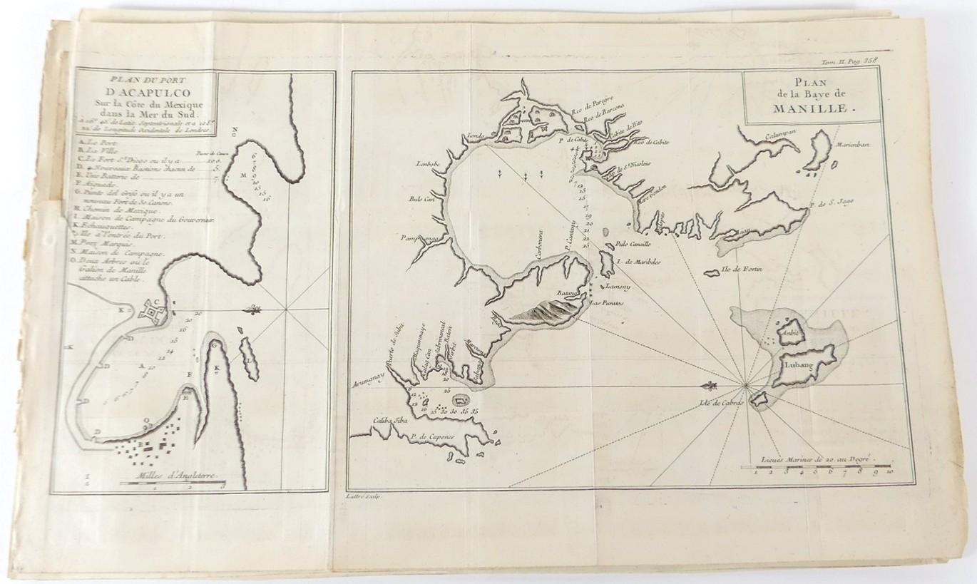
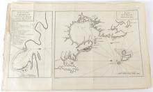
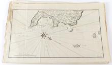
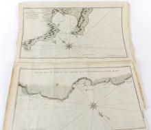
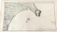
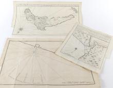
A selection of 9 rare original copper-plate engravings from the French Edition, published in Paris c.1750 from the original 1748 publication "A Voyage Round the World in 1740 by George Anson"; Anson became First Lord of the Admiralty; one interesting example relates to the plans of both Acapulco and Manila Bay, Philippines, frequented by the Spanish known as The Manila Galleon Trade Route from 1565 to 1815; in generally good condition with some exhibiting small missing edge sections where the maps were originally affixed to the original publication, although full images are intact; sheet size for each approximately 25.4 x 40.6cm (10 x 16in)