2937
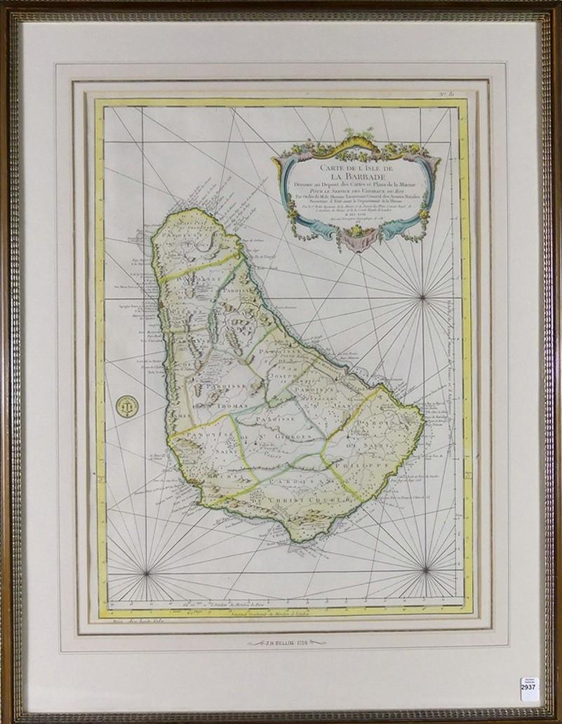
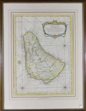
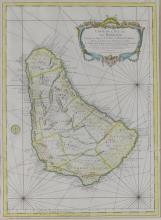
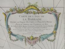
18TH CENTURY MAP OF BARBADOS

LOT DETAILS
Beautifully hand-coloured French aquatint etching map "Carte De L'Isle De La Barbade" by Jacques-Nicolas Bellin (French, 1703-1772), dated 1758 in the cartouche, plate number 81, sight 55.9 x 41.9cm (22 x 16 1/2in)