2250
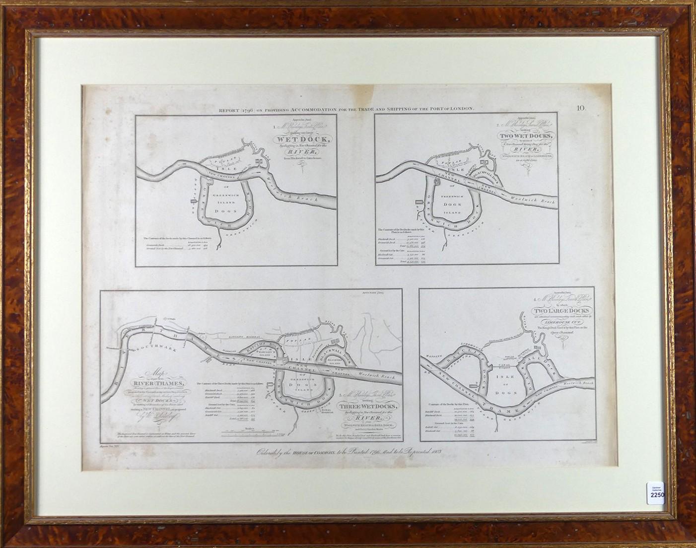
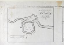
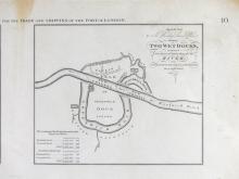
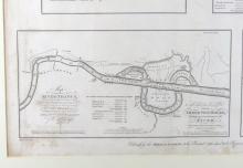
EARLY 19TH CENTURY PORT OF LONDON MAP

LOT DETAILS
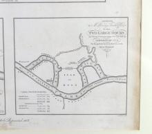
Titled "Report on Providing Accommodation for the Trade and Shipping of the Port of London", printed in 1796 and reprinted in 1803, sight 44.5 x 61.6cm (17 1/2 x 24 1/4in); housed in an antique birdseye maple frame