2743
18TH CENTURY CHART OF KINGSALE HARBOUR

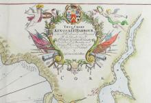

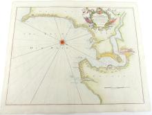
LOT DETAILS
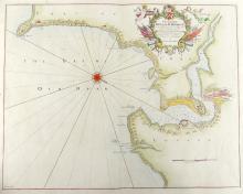
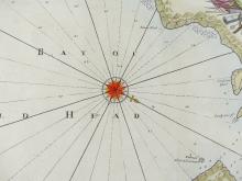
18th century sea chart showing The Bay of Old Head, and Part of Cork and County, Published by Freeman Collin, London; the chart is decorated with a compass rose and richly decorated title cartouche, in addition to sandbanks and anchorages, also water depths are indicated; originally from "Great Britain's Coasting Pilot. Being a New and Exact Survey of the Sea-Coast of England" by Captain Greenville Collins, first printed in 1693 and reissued in 1792 - original hand-colouring, centre folding, printed on thick paper, image size 44.5 x 57.2cm (17 1/2 x 22 1/2in)