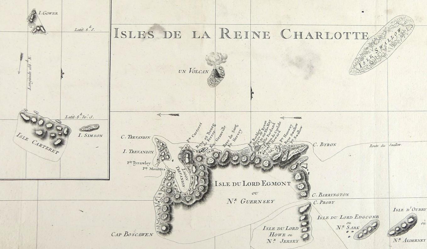
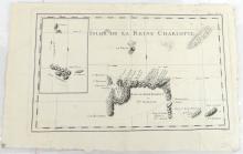
ISLES DE LA REINE CHARLOTTE, 1774

LOT DETAILS
A rare original copper-plate engraving by Robert Bernard (Ref: Tome I, Pl. 10) from the 1774 French edition of James Hawksworth’s Admiralty commissioned 1772/3 accounts of the journals of Cook’s and other explorers’ voyages, "Relation des voyages entrepis par ordre de Sa Majeste britannique actuellement regnante"; regarded as a fine engraving with pictorial topography and habitations showing the track of Capt. Carteret’s ship, HMS Swallow; the active island volcano shown upper centre is Tinakula Island which last erupted in 2012 and its first recorded eruption dates to the expedition of Alvaro de Mendana y Neira of 1595; the inset includes Gower, Simson, and Carteret Islands
Records state this separate engraving appears to have been neglected by institutional collections, appearing only in the Library of Australia; Alvaro (1542 –1595) was a Spanish navigator and explorer who first discovered and named the above islands; he led two expeditions, in 1567 and 1595, and was responsible for discovering the Marquesas, Cook Islands, and the Solomons
Presented in very good condition (two small discolorations at ISLES and below CHARLOTTE in title) as a folding map, protected in clear film sleeve - image size 22.9 x 34.3cm (9 x 13 1/2in)
