2715
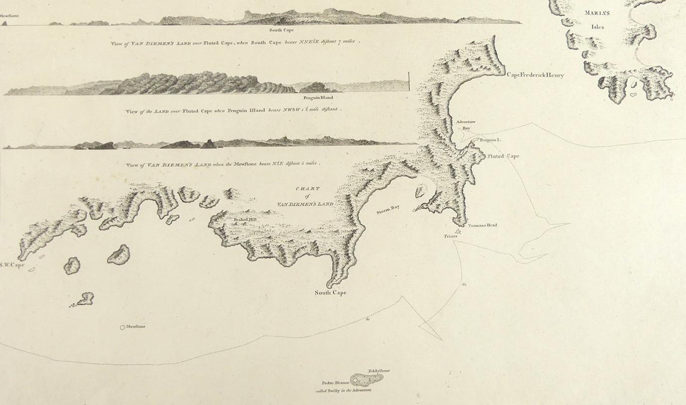
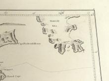
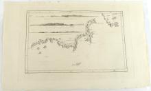
CHART OF VAN DIEMEN’S LAND, 1784
LOT DETAILS
A rare original copper-plate engraving by Thomas Harmar (Plate 5) from drawing by Lt. Henry Roberts on Cook's Third Voyage, as they called at the area on the 26th of January, 1777 and published in 1784 by Order of the Lords Commissioners of the Admiralty, printed by W. & A. Strahan for G. Nicol and T. Cadell; the image includes three drawings of views of the southern coast with shading indicating topographical relief
Presented in very good condition, protected in a clear film sleeve - image size 21.6 x 35.6cm (8 1/2 x 14in)
